Granville night lights from space
Night Light of Granville (Normandy) from space (France) Src. Average luminocity for 10x10km area is 12.1506% and for 50x50km: 1.5768%.
Analysis of Granville night lights 2016
Square area 10x10 km:
 1.7%
1.7%90-99
1.7%80-89
2.7%70-79
0.71%60-69
0.57%50-59
2.41%40-49
0.57%30-39
1.42%20-29
1.28%10-19
1.99%0-9
84.94%Square area 50x50 km:
0.2%90-99
0.24%80-89
0.19%70-79
0.11%60-69
0.27%50-59
0.27%40-49
0.24%30-39
0.17%20-29
0.18%10-19
0.15%0-9
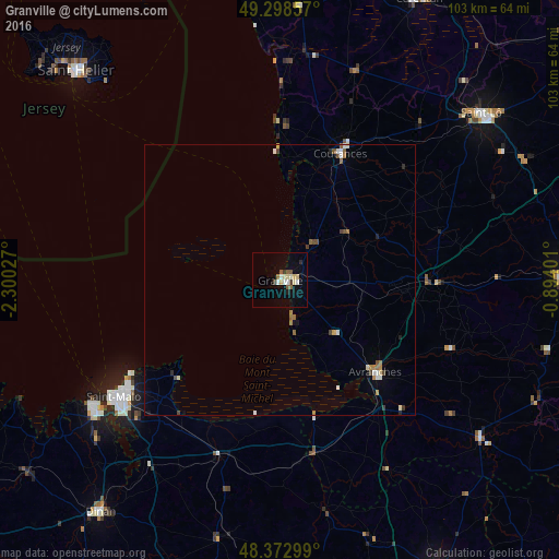
97.99%Clear (daylight) street map image can be seen on geolist.org.
Map coordinates:
49° 17' 54.9" North, 2° 18' 1" West
48° 50' 16.5" North, 1° 35' 49.7" West
48° 22' 22.8" North, 0° 53' 38.4" West
Some cities around Granville sort by population:
• Saint-Malo
36.9 km =22.9 mi,  234°
234°
• Saint-Lô
48.2 km =30 mi,  50°
50°
• Dinard
41.1 km =25.5 mi,  236°
236°
• Coutances
25.6 km =15.9 mi,  25°
25°
• Avranches
24.5 km =15.2 mi,  134°
134°
• Cancale
26 km =16.2 mi, 226°
• Dol-de-Bretagne
34.2 km =21.3 mi,  199°
199°
• Agneaux
47.6 km =29.6 mi, 48°
3014867 (p: 14,289)
Sources (retrieved 2019-11-25):
» Earth at Night: Flat Maps 2012, 2016