Valognes night lights from space
Night Light of Valognes (Normandy) from space (France) Src. Average luminocity for 10x10km area is 7.3221% and for 50x50km: 3.8031%.
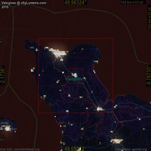
Analysis of Valognes night lights 2016
Square area 10x10 km:
 0.7%
0.7%90-99
2.1%80-89
1.12%70-79
0%60-69
1.26%50-59
0.98%40-49
0.56%30-39
0.84%20-29
0.28%10-19
0%0-9
92.16%Square area 50x50 km:
0.75%90-99
1.04%80-89
0.22%70-79
0.15%60-69
0.25%50-59
0.41%40-49
0.4%30-39
0.39%20-29
0.88%10-19
2.72%0-9
92.79%Clear (daylight) street map image can be seen on geolist.org.
Map coordinates:
49° 57' 47.7" North, 2° 10' 25" West
49° 30' 31.7" North, 1° 28' 13.7" West
49° 3' 0.4" North, 0° 46' 2.5" West
Some cities around Valognes sort by population:
• Cherbourg-Octeville
18 km =11.2 mi,  324°
324°
• Équeurdreville-Hainneville
20.4 km =12.7 mi, 319°
• Tourlaville
16 km =9.9 mi,  334°
334°
• Octeville
18.1 km =11.2 mi, 316°
• Carentan
28 km =17.4 mi,  144°
144°
• Querqueville
23.3 km =14.5 mi, 317°
• La Glacerie
13.4 km =8.3 mi, 323°
• Agneaux
50.8 km =31.6 mi,  148°
148°
2970860 (p: 7,873)
Sources (retrieved 2019-11-25):
» Earth at Night: Flat Maps 2012, 2016