Saint-Dizier night lights from space
Night Light of Saint-Dizier (Grand Est) from space (France) Src. Average luminocity for 10x10km area is 31.7664% and for 50x50km: 3.4166%.
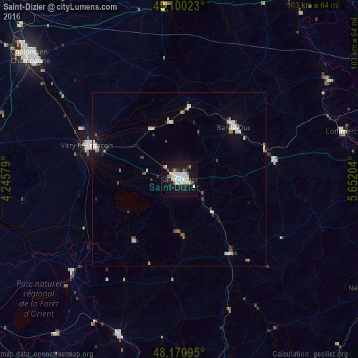
Analysis of Saint-Dizier night lights 2016
Square area 10x10 km:
 8.33%
8.33%90-99
9.23%80-89
2.23%70-79
0.45%60-69
2.98%50-59
1.19%40-49
1.93%30-39
2.53%20-29
2.38%10-19
41.96%0-9
26.79%Square area 50x50 km:
0.63%90-99
0.8%80-89
0.31%70-79
0.19%60-69
0.28%50-59
0.3%40-49
0.27%30-39
0.41%20-29
0.3%10-19
2.63%0-9
93.88%Clear (daylight) street map image can be seen on geolist.org.
Map coordinates:
49° 6' 0.8" North, 4° 14' 44.8" East
48° 38' 15.8" North, 4° 56' 56.1" East
48° 10' 15.4" North, 5° 39' 7.3" East
Some cities around Saint-Dizier sort by population:
• Châlons-en-Champagne
55.2 km =34.3 mi,  309°
309°
• Chaumont
60.2 km =37.4 mi,  166°
166°
• Bar-le-Duc
21.6 km =13.4 mi,  46°
46°
• Vitry-le-François
28.5 km =17.7 mi,  289°
289°
• Neufchâteau
63.4 km =39.4 mi,  119°
119°
• Commercy
49.1 km =30.5 mi,  73°
73°
• Bar-sur-Aube
48.4 km =30.1 mi,  201°
201°
• Ligny-en-Barrois
28.2 km =17.5 mi,  78°
78°
2980816 (p: 31,918)
Sources (retrieved 2019-11-25):
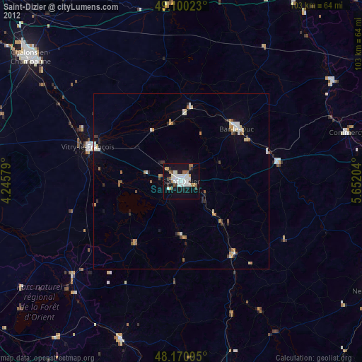
» Earth at Night: Flat Maps 2012, 2016