Bar-sur-Aube night lights from space
Night Light of Bar-sur-Aube (Grand Est) from space (France) Src. Average luminocity for 10x10km area is 8.311% and for 50x50km: 1.2578%.
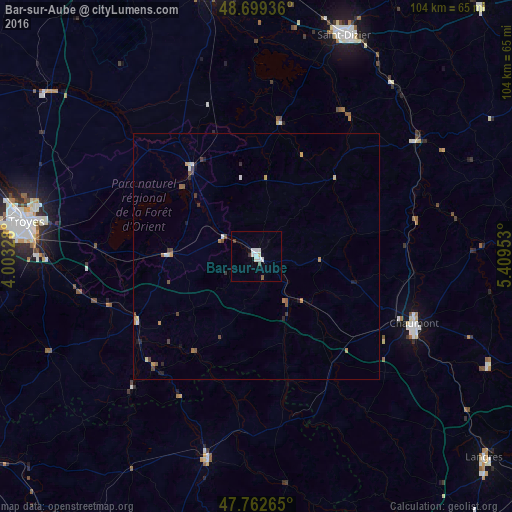
Analysis of Bar-sur-Aube night lights 2016
Square area 10x10 km:
 1.93%
1.93%90-99
2.83%80-89
0.6%70-79
0%60-69
0%50-59
0.6%40-49
0.89%30-39
0.89%20-29
0%10-19
0.89%0-9
91.37%Square area 50x50 km:
0.14%90-99
0.18%80-89
0.15%70-79
0.15%60-69
0.18%50-59
0.22%40-49
0.21%30-39
0.24%20-29
0.16%10-19
0.23%0-9
98.14%Clear (daylight) street map image can be seen on geolist.org.
Map coordinates:
48° 41' 57.7" North, 4° 0' 11.8" East
48° 13' 59.3" North, 4° 42' 23" East
47° 45' 45.5" North, 5° 24' 34.3" East
Some cities around Bar-sur-Aube sort by population:
• Troyes
46.6 km =29 mi,  279°
279°
• Saint-Dizier
48.4 km =30.1 mi,  21°
21°
• Chaumont
35 km =21.7 mi,  112°
112°
• Saint-André-les-Vergers
48.8 km =30.3 mi, 276°
• Sainte-Savine
49.4 km =30.7 mi, 278°
• Châtillon-sur-Seine
42.8 km =26.6 mi,  193°
193°
• Saint-Julien-les-Villas
45.2 km =28.1 mi, 275°
• Pont-Sainte-Marie
46.3 km =28.8 mi, 281°
3034802 (p: 5,387)
Sources (retrieved 2019-11-25):
» Earth at Night: Flat Maps 2012, 2016