Chaumont night lights from space
Night Light of Chaumont (Grand Est) from space (France) Src. Average luminocity for 10x10km area is 17.308% and for 50x50km: 1.1937%.

Analysis of Chaumont night lights 2016
Square area 10x10 km:
 4.46%
4.46%90-99
4.46%80-89
2.08%70-79
0.3%60-69
1.19%50-59
1.19%40-49
0%30-39
0.74%20-29
0.45%10-19
13.84%0-9
71.28%Square area 50x50 km:
0.2%90-99
0.21%80-89
0.11%70-79
0.04%60-69
0.17%50-59
0.23%40-49
0.1%30-39
0.12%20-29
0.1%10-19
0.63%0-9
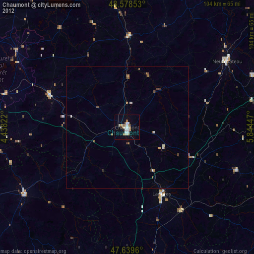
98.08%Clear (daylight) street map image can be seen on geolist.org.
Map coordinates:
48° 34' 42.7" North, 4° 26' 17.6" East
48° 6' 40.4" North, 5° 8' 28.8" East
47° 38' 22.6" North, 5° 50' 40.1" East
Some cities around Chaumont sort by population:
• Saint-Dizier
60.2 km =37.4 mi,  346°
346°
• Bar-le-Duc
73.6 km =45.7 mi,  1°
1°
• Langres
31.1 km =19.3 mi,  152°
152°
• Neufchâteau
49.3 km =30.6 mi,  56°
56°
• Châtillon-sur-Seine
50.7 km =31.5 mi,  236°
236°
• Vittel
60.7 km =37.7 mi,  80°
80°
• Bar-sur-Aube
35 km =21.7 mi,  292°
292°
• Ligny-en-Barrois
65.6 km =40.8 mi,  11°
11°
3025892 (p: 28,981)
Sources (retrieved 2019-11-25):
» Earth at Night: Flat Maps 2012, 2016