Bar-le-Duc night lights from space
Night Light of Bar-le-Duc (Grand Est) from space (France) Src. Average luminocity for 10x10km area is 15.304% and for 50x50km: 2.8078%.
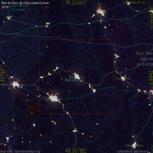
Analysis of Bar-le-Duc night lights 2016
Square area 10x10 km:
 4.26%
4.26%90-99
3.69%80-89
0.57%70-79
0.99%60-69
1.28%50-59
1.14%40-49
0.28%30-39
0.85%20-29
0.28%10-19
8.66%0-9
77.98%Square area 50x50 km:
0.6%90-99
0.76%80-89
0.18%70-79
0.13%60-69
0.19%50-59
0.17%40-49
0.16%30-39
0.29%20-29
0.19%10-19
2.14%0-9
95.2%Clear (daylight) street map image can be seen on geolist.org.
Map coordinates:
49° 14' 2.4" North, 4° 27' 28.6" East
48° 46' 21.9" North, 5° 9' 39.9" East
48° 18' 26" North, 5° 51' 51.1" East
Some cities around Bar-le-Duc sort by population:
• Saint-Dizier
21.6 km =13.4 mi,  226°
226°
• Verdun
46 km =28.6 mi,  20°
20°
• Toul
54.5 km =33.9 mi,  100°
100°
• Vitry-le-François
42.6 km =26.5 mi,  262°
262°
• Commercy
31.5 km =19.6 mi,  92°
92°
• Saint-Mihiel
31.3 km =19.4 mi,  65°
65°
• Ligny-en-Barrois
15.3 km =9.5 mi,  127°
127°
• Sainte-Menehould
40.2 km =25 mi,  331°
331°
3034911 (p: 18,595)
Sources (retrieved 2019-11-25):
» Earth at Night: Flat Maps 2012, 2016