Saint-Berthevin night lights from space
Night Light of Saint-Berthevin (Pays de la Loire) from space (France) Src. Average luminocity for 10x10km area is 23.6009% and for 50x50km: 2.7417%.
Analysis of Saint-Berthevin night lights 2016
Square area 10x10 km:
 4.12%
4.12%90-99
4.12%80-89
1.7%70-79
5.11%60-69
3.69%50-59
1.99%40-49
1.85%30-39
1.28%20-29
7.24%10-19
17.61%0-9
51.28%Square area 50x50 km:
0.41%90-99
0.42%80-89
0.22%70-79
0.36%60-69
0.38%50-59
0.18%40-49
0.33%30-39
0.31%20-29
0.85%10-19
2.1%0-9
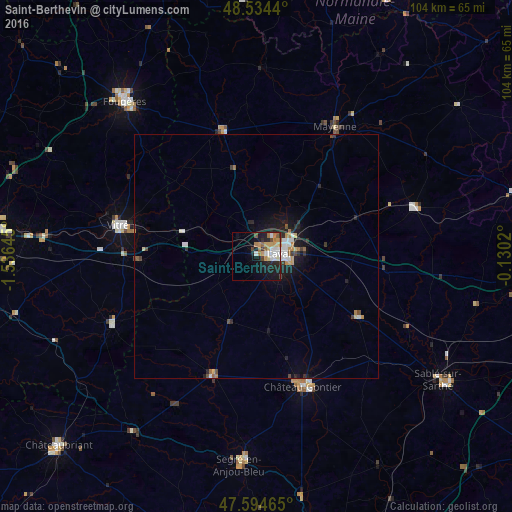
94.43%Clear (daylight) street map image can be seen on geolist.org.
Map coordinates:
48° 32' 3.8" North, 1° 32' 11.2" West
48° 4' 0" North, 0° 49' 60" West
47° 35' 40.7" North, 0° 7' 48.7" West
Some cities around Saint-Berthevin sort by population:
• Laval
5.2 km =3.2 mi,  82°
82°
• Vitré
28.2 km =17.5 mi,  281°
281°
• Mayenne
30.9 km =19.2 mi,  31°
31°
• Château-Gontier
28.2 km =17.5 mi,  159°
159°
• Ernée
26.7 km =16.6 mi,  344°
344°
• Changé
4.7 km =2.9 mi,  39°
39°
• Craon
25.9 km =16.1 mi,  199°
199°
• Bonchamp-lès-Laval
9.9 km =6.2 mi,  85°
85°
2981382 (p: 6,887)
Sources (retrieved 2019-11-25):
» Earth at Night: Flat Maps 2012, 2016