Craon night lights from space
Night Light of Craon (Pays de la Loire) from space (France) Src. Average luminocity for 10x10km area is 3.6801% and for 50x50km: 2.2277%.
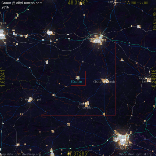
Analysis of Craon night lights 2016
Square area 10x10 km:
 0.3%
0.3%90-99
0.3%80-89
0.6%70-79
0%60-69
0.89%50-59
0.89%40-49
1.19%30-39
0.6%20-29
0.74%10-19
0.45%0-9
94.05%Square area 50x50 km:
0.29%90-99
0.37%80-89
0.21%70-79
0.36%60-69
0.23%50-59
0.22%40-49
0.28%30-39
0.3%20-29
0.42%10-19
1.16%0-9
96.16%Clear (daylight) street map image can be seen on geolist.org.
Map coordinates:
48° 18' 59.8" North, 1° 39' 8.7" West
47° 50' 48.7" North, 0° 56' 57.4" West
47° 22' 22.3" North, 0° 14' 46.2" West
Some cities around Craon sort by population:
• Laval
28.7 km =17.8 mi,  28°
28°
• Vitré
35.7 km =22.2 mi,  327°
327°
• Châteaubriant
35 km =21.7 mi,  245°
245°
• Château-Gontier
18.5 km =11.5 mi,  96°
96°
• Segré
18.7 km =11.6 mi,  162°
162°
• Saint-Berthevin
25.9 km =16.1 mi,  19°
19°
• Changé
30.4 km =18.9 mi, 22°
• Bonchamp-lès-Laval
31.3 km =19.4 mi,  36°
36°
3022690 (p: 5,130)
Sources (retrieved 2019-11-25):
» Earth at Night: Flat Maps 2012, 2016