Mayenne night lights from space
Night Light of Mayenne (Pays de la Loire) from space (France) Src. Average luminocity for 10x10km area is 5.8378% and for 50x50km: 1.7757%.
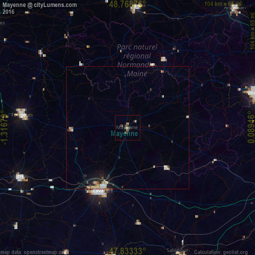
Analysis of Mayenne night lights 2016
Square area 10x10 km:
 0%
0%90-99
0%80-89
1.79%70-79
0%60-69
0.6%50-59
1.04%40-49
2.38%30-39
3.72%20-29
0.6%10-19
0.6%0-9
89.29%Square area 50x50 km:
0.17%90-99
0.27%80-89
0.18%70-79
0.3%60-69
0.3%50-59
0.15%40-49
0.2%30-39
0.28%20-29
0.53%10-19
1.05%0-9
96.55%Clear (daylight) street map image can be seen on geolist.org.
Map coordinates:
48° 46' 7.5" North, 1° 19' 0.4" West
48° 18' 11.5" North, 0° 36' 49.2" West
47° 49' 60" North, 0° 5' 22.1" East
Some cities around Mayenne sort by population:
• Laval
27.9 km =17.3 mi,  203°
203°
• Fougères
43.7 km =27.2 mi,  277°
277°
• Évron
22.7 km =14.1 mi,  135°
135°
• La Ferté-Macé
37 km =23 mi,  30°
30°
• Saint-Berthevin
30.9 km =19.2 mi,  211°
211°
• Ernée
23.5 km =14.6 mi,  268°
268°
• Changé
26.3 km =16.3 mi, 210°
• Bonchamp-lès-Laval
26.3 km =16.3 mi,  194°
194°
2994935 (p: 15,583)
Sources (retrieved 2019-11-25):
» Earth at Night: Flat Maps 2012, 2016