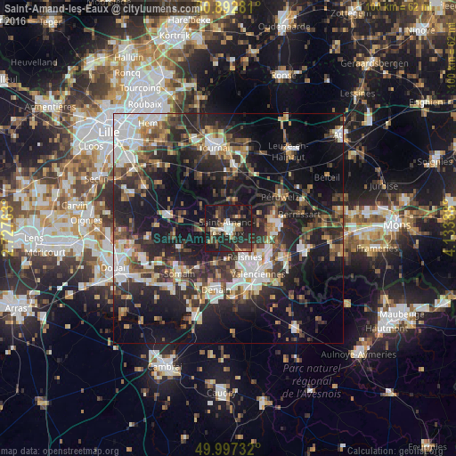
Saint-Amand-les-Eaux night lights from space
Night Light of Saint-Amand-les-Eaux (Hauts-de-France) from space (France) Src. Average luminocity for 10x10km area is 34.1204% and for 50x50km: 32.6843%.
Analysis of Saint-Amand-les-Eaux night lights 2016
Square area 10x10 km:
 3.36%
3.36%90-99
4.34%80-89
3.5%70-79
1.54%60-69
2.52%50-59
6.58%40-49
6.86%30-39
6.58%20-29
28.57%10-19
33.19%0-9
2.94%Square area 50x50 km:
5.48%90-99
5.67%80-89
2.68%70-79
2.92%60-69
4.17%50-59
4.38%40-49
5.52%30-39
6.21%20-29
13.5%10-19
22.34%0-9
27.14%Clear (daylight) street map image can be seen on geolist.org.
Map coordinates:
50° 53' 34.1" North, 2° 43' 39.5" East
50° 26' 49.8" North, 3° 25' 50.7" East
49° 59' 50.4" North, 4° 8' 2" East
Some cities around Saint-Amand-les-Eaux sort by population:
• Anzin
9.8 km =6.1 mi,  148°
148°
• Raismes
8 km =5 mi, 152°
• Bruay-sur-l’Escaut
9.6 km =6 mi,  123°
123°
• Vieux-Condé
9.8 km =6.1 mi,  81°
81°
• Beuvrages
8.3 km =5.2 mi, 147°
• Fresnes-sur-Escaut
10.5 km =6.5 mi,  98°
98°
• Wallers
8.6 km =5.3 mi,  198°
198°
• Petite-Forêt
9.7 km =6 mi,  157°
157°
2981839 (p: 17,808)
Sources (retrieved 2019-11-25):
» Earth at Night: Flat Maps 2012, 2016