Bruay-sur-l’Escaut night lights from space
Night Light of Bruay-sur-l’Escaut (Hauts-de-France) from space (France) Src. Average luminocity for 10x10km area is 64.1933% and for 50x50km: 28.201%.
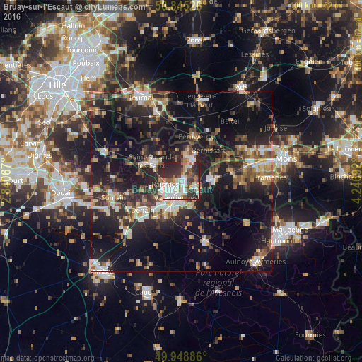
Analysis of Bruay-sur-l’Escaut night lights 2016
Square area 10x10 km:
 18.63%
90-99
17.09%80-89
4.9%70-79
4.76%60-69
6.58%50-59
7.84%40-49
5.6%30-39
16.25%20-29
17.51%10-19
0.84%0-9
0%Square area 50x50 km:
3.49%90-99
4.43%80-89
2.68%70-79
2.67%60-69
3.67%50-59
4.08%40-49
4.9%30-39
5.32%20-29
12.1%10-19
23.02%0-9
33.64%Clear (daylight) street map image can be seen on geolist.org.
Map coordinates:
50° 50' 42.9" North, 2° 50' 26.4" East
50° 23' 57" North, 3° 32' 37.6" East
49° 56' 55.9" North, 4° 14' 48.9" East
Some cities around Bruay-sur-l’Escaut sort by population:
• Valenciennes
4.7 km =2.9 mi,  196°
196°
• Anzin
4.1 km =2.5 mi,  223°
223°
• Raismes
4.6 km =2.9 mi,  247°
247°
• Saint-Saulve
3.2 km =2 mi,  164°
164°
• Onnaing
4.2 km =2.6 mi,  110°
110°
• Beuvrages
3.9 km =2.4 mi,  244°
244°
• Fresnes-sur-Escaut
4.5 km =2.8 mi,  31°
31°
• Petite-Forêt
5.6 km =3.5 mi,  229°
229°
3029824 (p: 11,690)
Sources (retrieved 2019-11-25):
» Earth at Night: Flat Maps 2012, 2016