Decazeville night lights from space
Night Light of Decazeville (Occitanie) from space (France) Src. Average luminocity for 10x10km area is 16.25% and for 50x50km: 3.0375%.
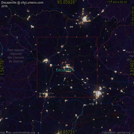
Analysis of Decazeville night lights 2016
Square area 10x10 km:
 1.06%
1.06%90-99
1.36%80-89
0.61%70-79
0.61%60-69
5.45%50-59
5.61%40-49
3.48%30-39
1.82%20-29
1.36%10-19
5%0-9
73.64%Square area 50x50 km:
0.19%90-99
0.29%80-89
0.38%70-79
0.35%60-69
0.55%50-59
0.49%40-49
0.58%30-39
0.45%20-29
0.78%10-19
1.12%0-9
94.82%Clear (daylight) street map image can be seen on geolist.org.
Map coordinates:
45° 3' 33.4" North, 1° 32' 52" East
44° 33' 37.6" North, 2° 15' 3.3" East
44° 3' 26.3" North, 2° 57' 14.5" East
Some cities around Decazeville sort by population:
• Aurillac
43.2 km =26.8 mi,  20°
20°
• Rodez
34.5 km =21.4 mi,  132°
132°
• Cahors
65.7 km =40.8 mi,  259°
259°
• Villefranche-de-Rouergue
28.8 km =17.9 mi,  216°
216°
• Figeac
18.2 km =11.3 mi,  287°
287°
• Carmaux
57.1 km =35.5 mi,  187°
187°
• Arpajon-sur-Cère
41.5 km =25.8 mi, 23°
• Luc-la-Primaube
35.5 km =22.1 mi,  140°
140°
3021664 (p: 7,268)
Sources (retrieved 2019-11-25):
» Earth at Night: Flat Maps 2012, 2016