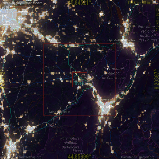
Rives night lights from space
Night Light of Rives (Auvergne-Rhône-Alpes) from space (France) Src. Average luminocity for 10x10km area is 16.473% and for 50x50km: 11.1987%.
Analysis of Rives night lights 2016
Square area 10x10 km:
 0.63%
0.63%90-99
2.06%80-89
0.95%70-79
1.43%60-69
2.54%50-59
1.11%40-49
2.22%30-39
4.29%20-29
3.33%10-19
28.1%0-9
53.33%Square area 50x50 km:
2.11%90-99
1.88%80-89
0.87%70-79
0.96%60-69
1.12%50-59
1.38%40-49
1.32%30-39
2.34%20-29
3.27%10-19
7.21%0-9
77.54%Clear (daylight) street map image can be seen on geolist.org.
Map coordinates:
45° 50' 42.8" North, 4° 47' 51.8" East
45° 21' 11.7" North, 5° 30' 3" East
44° 51' 25.2" North, 6° 12' 14.3" East
Some cities around Rives sort by population:
• Fontaine
23.1 km =14.4 mi,  140°
140°
• Voiron
6.7 km =4.2 mi,  79°
79°
• Saint-Égrève
19.4 km =12.1 mi,  133°
133°
• Sassenage
20.1 km =12.5 mi, 140°
• Voreppe
12.1 km =7.5 mi,  122°
122°
• Moirans
4.8 km =3 mi, 120°
• Tullins
5.7 km =3.5 mi,  187°
187°
• Saint-Martin-le-Vinoux
23.7 km =14.7 mi, 134°
2983395 (p: 6,067)
Sources (retrieved 2019-11-25):
» Earth at Night: Flat Maps 2012, 2016