Clermont-Ferrand night lights from space
Night Light of Clermont-Ferrand (Auvergne-Rhône-Alpes) from space (France) Src. Average luminocity for 10x10km area is 65.6333% and for 50x50km: 8.2472%.
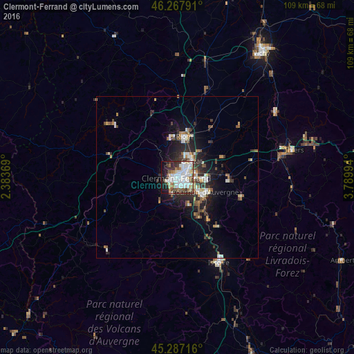

Analysis of Clermont-Ferrand night lights 2016
Square area 10x10 km:
 22.06%
90-99
20.63%80-89
6.35%70-79
2.06%60-69
5.56%50-59
6.83%40-49
5.08%30-39
7.62%20-29
9.05%10-19
13.02%0-9
1.75%Square area 50x50 km:
1.43%90-99
1.66%80-89
0.66%70-79
0.61%60-69
0.91%50-59
1.17%40-49
1.09%30-39
1.28%20-29
2.71%10-19
5.01%0-9
83.47%Clear (daylight) street map image can be seen on geolist.org.
Map coordinates:
46° 16' 4.5" North, 2° 23' 1.3" East
45° 46' 46.9" North, 3° 5' 12.6" East
45° 17' 13.8" North, 3° 47' 23.8" East
Some cities around Clermont-Ferrand sort by population:
• Chamalières
1.7 km =1.1 mi,  246°
246°
• Cournon-d’Auvergne
9.5 km =5.9 mi,  116°
116°
• Beaumont
3.1 km =1.9 mi,  185°
185°
• Aubière
3.7 km =2.3 mi,  149°
149°
• Gerzat
6.8 km =4.2 mi,  41°
41°
• Romagnat
5.7 km =3.5 mi,  169°
169°
• Cébazat
5.8 km =3.6 mi,  10°
10°
• Ceyrat
5.5 km =3.4 mi,  199°
199°
3024635 (p: 138,681)
Sources (retrieved 2019-11-25):
» NASA, Earths city lights 1995
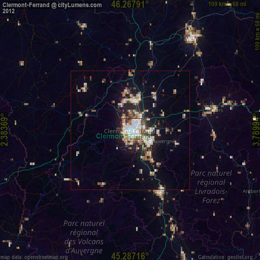
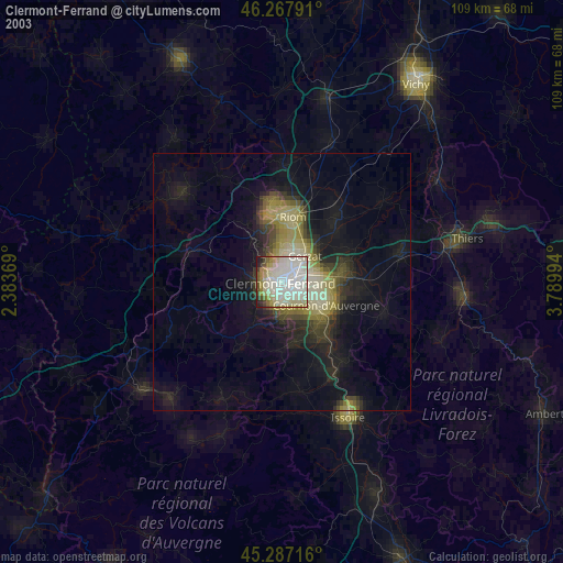
» NASA city lights 2003
» Earth at Night: Flat Maps 2012, 2016