Chamalières night lights from space
Night Light of Chamalières (Auvergne-Rhône-Alpes) from space (France) Src. Average luminocity for 10x10km area is 53.3286% and for 50x50km: 8.311%.
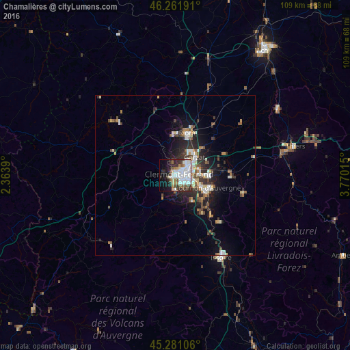
Analysis of Chamalières night lights 2016
Square area 10x10 km:
 18.1%
18.1%90-99
16.35%80-89
3.33%70-79
0.95%60-69
4.6%50-59
4.92%40-49
5.08%30-39
6.51%20-29
10.32%10-19
14.92%0-9
14.92%Square area 50x50 km:
1.44%90-99
1.69%80-89
0.67%70-79
0.63%60-69
0.91%50-59
1.14%40-49
1.1%30-39
1.27%20-29
2.73%10-19
5.02%0-9
83.39%Clear (daylight) street map image can be seen on geolist.org.
Map coordinates:
46° 15' 42.9" North, 2° 21' 50" East
45° 46' 25.1" North, 3° 4' 1.3" East
45° 16' 51.8" North, 3° 46' 12.5" East
Some cities around Chamalières sort by population:
• Clermont-Ferrand
1.7 km =1.1 mi,  66°
66°
• Cournon-d’Auvergne
10.7 km =6.6 mi,  109°
109°
• Beaumont
2.7 km =1.7 mi,  153°
153°
• Aubière
4.2 km =2.6 mi,  126°
126°
• Gerzat
8.4 km =5.2 mi,  46°
46°
• Romagnat
5.6 km =3.5 mi, 152°
• Cébazat
6.9 km =4.3 mi,  21°
21°
• Ceyrat
4.6 km =2.9 mi,  183°
183°
3027453 (p: 20,298)
Sources (retrieved 2019-11-25):
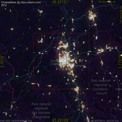
» Earth at Night: Flat Maps 2012, 2016