Rethel night lights from space
Night Light of Rethel (Grand Est) from space (France) Src. Average luminocity for 10x10km area is 8.7577% and for 50x50km: 1.6684%.
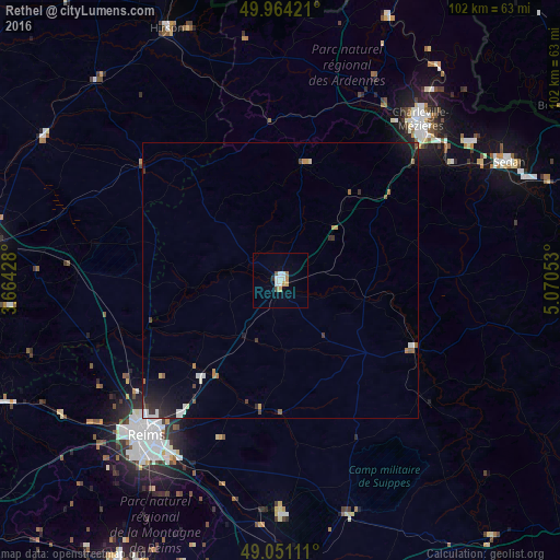
Analysis of Rethel night lights 2016
Square area 10x10 km:
 1.68%
1.68%90-99
2.24%80-89
0.42%70-79
1.54%60-69
0.84%50-59
0.56%40-49
0.56%30-39
0.28%20-29
0.28%10-19
0.56%0-9
91.04%Square area 50x50 km:
0.25%90-99
0.28%80-89
0.08%70-79
0.19%60-69
0.21%50-59
0.21%40-49
0.15%30-39
0.25%20-29
0.43%10-19
1.01%0-9
96.94%Clear (daylight) street map image can be seen on geolist.org.
Map coordinates:
49° 57' 51.2" North, 3° 39' 51.4" East
49° 30' 35.2" North, 4° 22' 2.6" East
49° 3' 4" North, 5° 4' 13.9" East
Some cities around Rethel sort by population:
• Reims
36.6 km =22.7 mi,  222°
222°
• Charleville-Mézières
38.6 km =24 mi,  41°
41°
• Sedan
46.5 km =28.9 mi,  62°
62°
• Tinqueux
40.1 km =24.9 mi, 223°
• Nouzonville
43.5 km =27 mi, 38°
• Cormontreuil
39.9 km =24.8 mi, 215°
• Bétheny
33.7 km =20.9 mi, 222°
• Mourmelon-le-Grand
41.9 km =26 mi,  180°
180°
2983891 (p: 8,505)
Sources (retrieved 2019-11-25):
» Earth at Night: Flat Maps 2012, 2016