Charleville-Mézières night lights from space
Night Light of Charleville-Mézières (Grand Est) from space (France) Src. Average luminocity for 10x10km area is 42.357% and for 50x50km: 4.5692%.
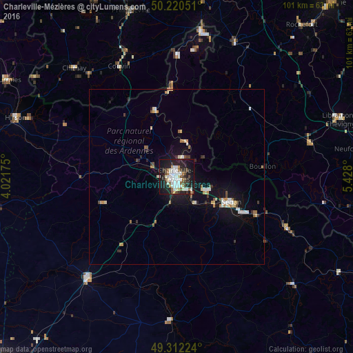
Analysis of Charleville-Mézières night lights 2016
Square area 10x10 km:
 10.96%
90-99
10.96%80-89
2.54%70-79
1.74%60-69
2.81%50-59
4.81%40-49
6.15%30-39
4.55%20-29
15.37%10-19
32.09%0-9
8.02%Square area 50x50 km:
0.75%90-99
0.83%80-89
0.45%70-79
0.32%60-69
0.5%50-59
0.47%40-49
0.49%30-39
0.51%20-29
0.96%10-19
4.11%0-9
90.6%Clear (daylight) street map image can be seen on geolist.org.
Map coordinates:
50° 13' 13.8" North, 4° 1' 18.3" East
49° 46' 6.6" North, 4° 43' 29.5" East
49° 18' 44.1" North, 5° 25' 40.8" East
Some cities around Charleville-Mézières sort by population:
• Sedan
17.2 km =10.7 mi,  115°
115°
• Couvin, BE
35.6 km =22.1 mi,  332°
332°
• Rethel
38.6 km =24 mi,  221°
221°
• Bertrix, BE
39.3 km =24.4 mi,  75°
75°
• Revin
20.2 km =12.6 mi,  341°
341°
• Nouzonville
5.3 km =3.3 mi,  17°
17°
• Bouillon, BE
24.7 km =15.3 mi, 83°
• Paliseul, BE
33.1 km =20.6 mi,  62°
62°
3026613 (p: 52,415)
Sources (retrieved 2019-11-25):
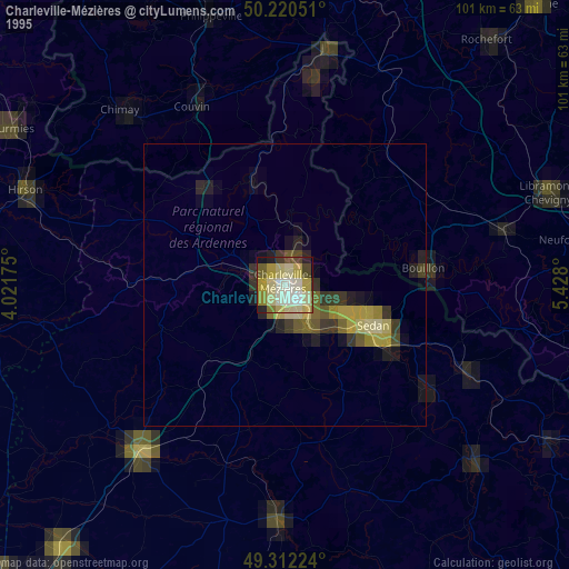
» NASA, Earths city lights 1995
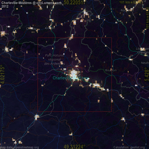
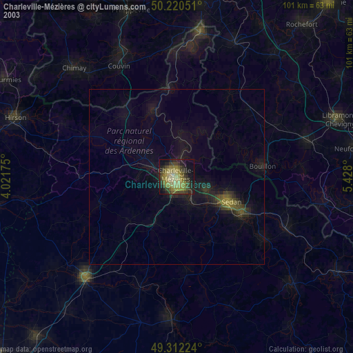
» NASA city lights 2003
» Earth at Night: Flat Maps 2012, 2016