Poissy night lights from space
Night Light of Poissy (Île-de-France) from space (France) Src. Average luminocity for 10x10km area is 71.5099% and for 50x50km: 53.7052%.
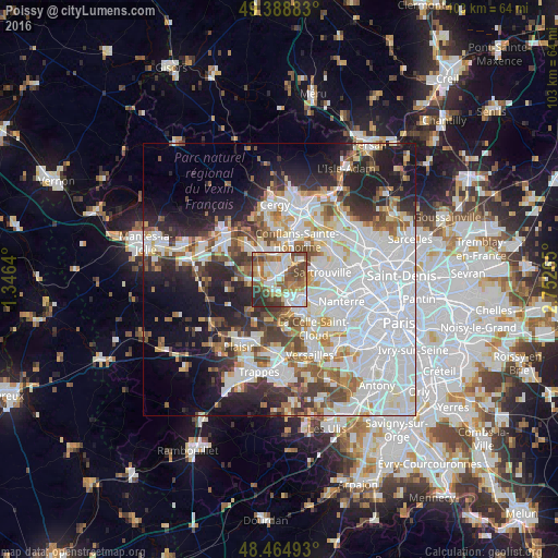
Analysis of Poissy night lights 2016
Square area 10x10 km:
 15.63%
90-99
18.89%80-89
10.65%70-79
6.96%60-69
10.37%50-59
14.06%40-49
12.93%30-39
5.54%20-29
4.97%10-19
0%0-9
0%Square area 50x50 km:
20.99%90-99
12.53%80-89
4.29%70-79
4%60-69
5.04%50-59
4.39%40-49
5.4%30-39
4.89%20-29
8.12%10-19
11.49%0-9
18.85%Clear (daylight) street map image can be seen on geolist.org.
Map coordinates:
49° 23' 19.8" North, 1° 20' 47" East
48° 55' 44.5" North, 2° 2' 58.3" East
48° 27' 53.7" North, 2° 45' 9.5" East
Some cities around Poissy sort by population:
• Saint-Germain-en-Laye
4.7 km =2.9 mi,  140°
140°
• Achères
3.8 km =2.4 mi,  21°
21°
• Carrières-sous-Poissy
2.4 km =1.5 mi,  344°
344°
• Chanteloup-les-Vignes
5.4 km =3.4 mi,  346°
346°
• Le Mesnil-le-Roi
5.6 km =3.5 mi,  79°
79°
• Chambourcy
2.6 km =1.6 mi,  193°
193°
• Orgeval
5.3 km =3.3 mi,  261°
261°
• Villennes-sur-Seine
4.5 km =2.8 mi,  287°
287°
2986501 (p: 36,431)
Sources (retrieved 2019-11-25):
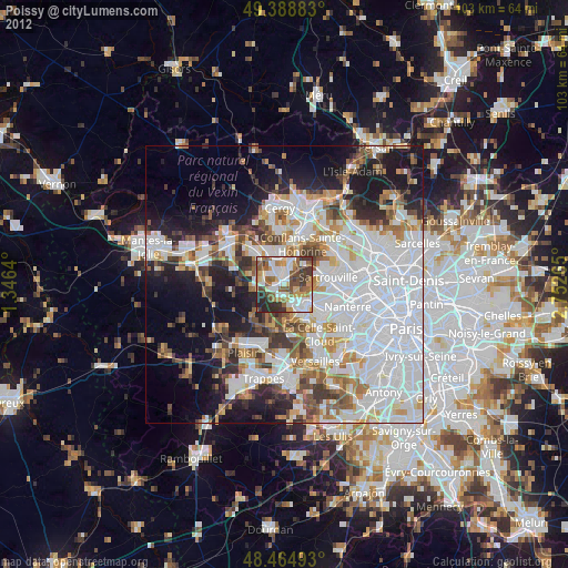
» Earth at Night: Flat Maps 2012, 2016