Saint-Germain-en-Laye night lights from space
Night Light of Saint-Germain-en-Laye (Île-de-France) from space (France) Src. Average luminocity for 10x10km area is 79.2017% and for 50x50km: 59.3221%.
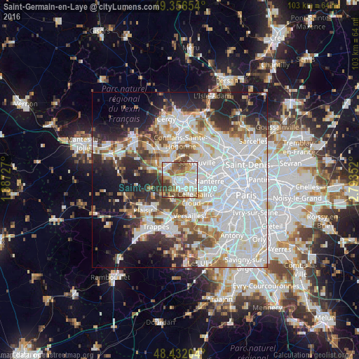
Analysis of Saint-Germain-en-Laye night lights 2016
Square area 10x10 km:
 21.45%
90-99
26.42%80-89
10.37%70-79
9.09%60-69
7.67%50-59
10.09%40-49
10.94%30-39
3.84%20-29
0.14%10-19
0%0-9
0%Square area 50x50 km:
24.89%90-99
13.98%80-89
4.53%70-79
4.19%60-69
5.18%50-59
4.31%40-49
5.48%30-39
4.97%20-29
8%10-19
11.45%0-9
13.02%Clear (daylight) street map image can be seen on geolist.org.
Map coordinates:
49° 21' 23.5" North, 1° 23' 14.2" East
48° 53' 47.1" North, 2° 5' 25.4" East
48° 25' 55.3" North, 2° 47' 36.7" East
Some cities around Saint-Germain-en-Laye sort by population:
• Poissy
4.7 km =2.9 mi,  320°
320°
• Marly-le-Roi
3.3 km =2.1 mi,  188°
188°
• Le Vésinet
3.1 km =1.9 mi,  97°
97°
• Le Pecq
1 km =0.6 mi,  110°
110°
• Montesson
3.7 km =2.3 mi,  67°
67°
• Croissy-sur-Seine
4 km =2.5 mi,  118°
118°
• Louveciennes
4.3 km =2.7 mi,  155°
155°
• Chambourcy
3.8 km =2.4 mi,  287°
287°
2979783 (p: 41,142)
Sources (retrieved 2019-11-25):
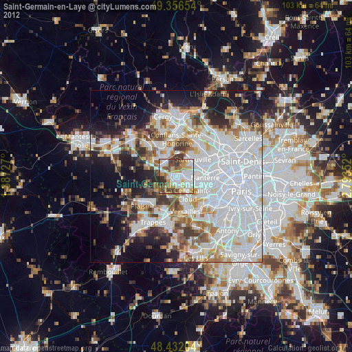
» Earth at Night: Flat Maps 2012, 2016