Plaisir night lights from space
Night Light of Plaisir (Île-de-France) from space (France) Src. Average luminocity for 10x10km area is 57.7045% and for 50x50km: 45.3685%.
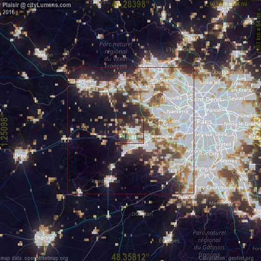
Analysis of Plaisir night lights 2016
Square area 10x10 km:
 10.8%
10.8%90-99
14.49%80-89
5.68%70-79
4.26%60-69
8.95%50-59
6.53%40-49
13.35%30-39
14.49%20-29
18.32%10-19
3.13%0-9
0%Square area 50x50 km:
13.83%90-99
11.28%80-89
4.23%70-79
4.3%60-69
5.13%50-59
4.17%40-49
5.51%30-39
4.57%20-29
6.96%10-19
11.59%0-9
28.44%Clear (daylight) street map image can be seen on geolist.org.
Map coordinates:
49° 17' 2.3" North, 1° 15' 3.5" East
48° 49' 23.5" North, 1° 57' 14.8" East
48° 21' 29.2" North, 2° 39' 26" East
Some cities around Plaisir sort by population:
• Élancourt
4.3 km =2.7 mi,  178°
178°
• Maurepas
6.7 km =4.2 mi,  195°
195°
• Les Clayes-sous-Bois
2.4 km =1.5 mi,  93°
93°
• Bois-d’Arcy
5.7 km =3.5 mi,  117°
117°
• Fontenay-le-Fleury
7 km =4.3 mi,  99°
99°
• Villepreux
3.2 km =2 mi,  80°
80°
• Beynes
7 km =4.3 mi,  301°
301°
• Jouars-Pontchartrain
5.6 km =3.5 mi,  226°
226°
2986930 (p: 36,121)
Sources (retrieved 2019-11-25):
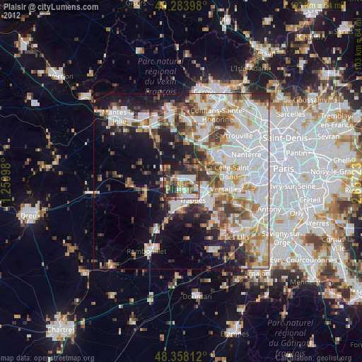
» Earth at Night: Flat Maps 2012, 2016