Jouars-Pontchartrain night lights from space
Night Light of Jouars-Pontchartrain (Île-de-France) from space (France) Src. Average luminocity for 10x10km area is 45.2969% and for 50x50km: 36.3097%.
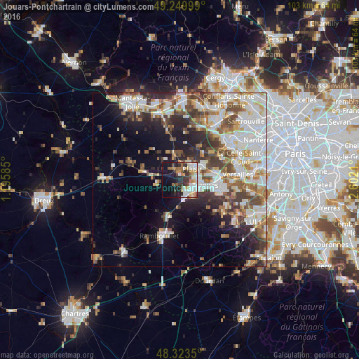
Analysis of Jouars-Pontchartrain night lights 2016
Square area 10x10 km:
 8.66%
8.66%90-99
10.37%80-89
5.4%70-79
3.98%60-69
8.52%50-59
4.4%40-49
4.4%30-39
9.09%20-29
8.24%10-19
25.14%0-9
11.79%Square area 50x50 km:
9.1%90-99
8.86%80-89
3.62%70-79
3.5%60-69
4.37%50-59
4.01%40-49
5.43%30-39
4.31%20-29
6.14%10-19
9.98%0-9
40.66%Clear (daylight) street map image can be seen on geolist.org.
Map coordinates:
49° 14' 60" North, 1° 11' 45.1" East
48° 47' 20" North, 1° 53' 56.3" East
48° 19' 24.6" North, 2° 36' 7.6" East
Some cities around Jouars-Pontchartrain sort by population:
• Plaisir
5.6 km =3.5 mi,  46°
46°
• Élancourt
4.2 km =2.6 mi,  97°
97°
• Maurepas
3.5 km =2.2 mi,  140°
140°
• Les Clayes-sous-Bois
7.4 km =4.6 mi,  60°
60°
• Beynes
7.7 km =4.8 mi,  345°
345°
• Le Mesnil-Saint-Denis
6.4 km =4 mi, 139°
• La Verrière
5.4 km =3.4 mi, 139°
• Les Essarts-le-Roi
8 km =5 mi,  179°
179°
3012234 (p: 5,012)
Sources (retrieved 2019-11-25):
» Earth at Night: Flat Maps 2012, 2016