Nogent-le-Rotrou night lights from space
Night Light of Nogent-le-Rotrou (Centre) from space (France) Src. Average luminocity for 10x10km area is 9.9901% and for 50x50km: 1.7247%.
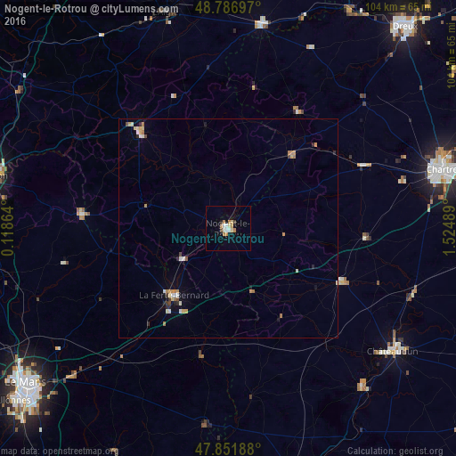
Analysis of Nogent-le-Rotrou night lights 2016
Square area 10x10 km:
 1.14%
1.14%90-99
1.7%80-89
1.7%70-79
1.28%60-69
2.7%50-59
0%40-49
0.57%30-39
0.57%20-29
0.14%10-19
1.42%0-9
88.78%Square area 50x50 km:
0.14%90-99
0.28%80-89
0.26%70-79
0.31%60-69
0.38%50-59
0.03%40-49
0.15%30-39
0.1%20-29
0.26%10-19
0.25%0-9
97.83%Clear (daylight) street map image can be seen on geolist.org.
Map coordinates:
48° 47' 13.1" North, 0° 7' 7.1" East
48° 19' 17.7" North, 0° 49' 18.4" East
47° 51' 6.8" North, 1° 31' 29.6" East
Some cities around Nogent-le-Rotrou sort by population:
• Chartres
51.2 km =31.8 mi,  74°
74°
• Lucé
49.1 km =30.5 mi, 74°
• Châteaudun
47.3 km =29.4 mi,  126°
126°
• Mainvilliers
49 km =30.4 mi, 73°
• La Ferté-Bernard
19.5 km =12.1 mi,  219°
219°
• Verneuil-sur-Avre
47.1 km =29.3 mi,  9°
9°
• Luisant
49.6 km =30.8 mi,  76°
76°
• Mamers
33.6 km =20.9 mi,  275°
275°
2990272 (p: 13,128)
Sources (retrieved 2019-11-25):
» Earth at Night: Flat Maps 2012, 2016