La Ferté-Bernard night lights from space
Night Light of La Ferté-Bernard (Pays de la Loire) from space (France) Src. Average luminocity for 10x10km area is 14.119% and for 50x50km: 1.6438%.
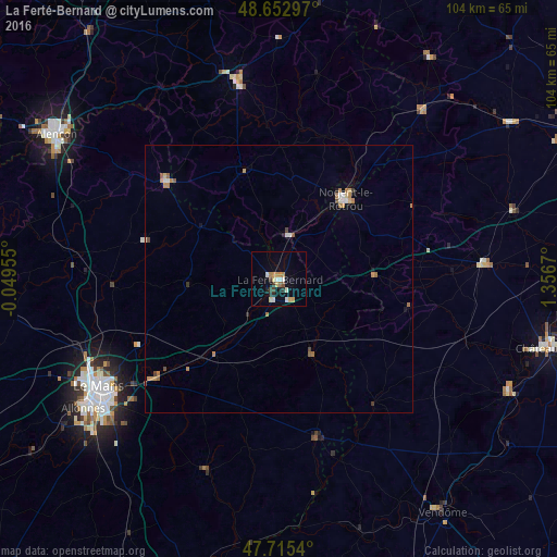
Analysis of La Ferté-Bernard night lights 2016
Square area 10x10 km:
 1.49%
1.49%90-99
2.68%80-89
2.08%70-79
2.23%60-69
2.08%50-59
0.15%40-49
1.04%30-39
1.93%20-29
2.38%10-19
2.68%0-9
81.25%Square area 50x50 km:
0.13%90-99
0.24%80-89
0.18%70-79
0.29%60-69
0.43%50-59
0.14%40-49
0.18%30-39
0.15%20-29
0.14%10-19
0.24%0-9
97.88%Clear (daylight) street map image can be seen on geolist.org.
Map coordinates:
48° 39' 10.7" North, 0° 2' 58.4" West
48° 11' 10.8" North, 0° 39' 12.9" East
47° 42' 55.4" North, 1° 21' 24.1" East
Some cities around La Ferté-Bernard sort by population:
• Le Mans
39.2 km =24.4 mi,  238°
238°
• Alençon
49.8 km =30.9 mi,  303°
303°
• Nogent-le-Rotrou
19.5 km =12.1 mi,  39°
39°
• Allonnes
44.1 km =27.4 mi, 236°
• Coulaines
37.9 km =23.5 mi, 241°
• Mamers
27.8 km =17.3 mi,  310°
310°
• Arnage
45.1 km =28 mi,  230°
230°
• Changé
35.5 km =22.1 mi, 230°
3009494 (p: 10,201)
Sources (retrieved 2019-11-25):
» Earth at Night: Flat Maps 2012, 2016