Chartres night lights from space
Night Light of Chartres (Centre) from space (France) Src. Average luminocity for 10x10km area is 56.0582% and for 50x50km: 5.5451%.
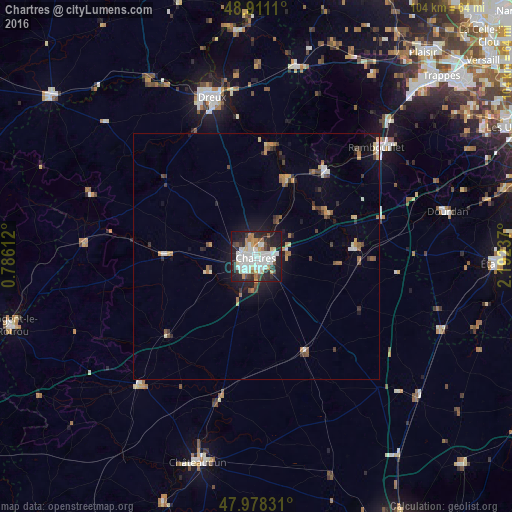
Analysis of Chartres night lights 2016
Square area 10x10 km:
 17.05%
90-99
16.05%80-89
4.4%70-79
4.69%60-69
5.54%50-59
1.14%40-49
4.69%30-39
5.26%20-29
21.16%10-19
19.18%0-9
0.85%Square area 50x50 km:
0.85%90-99
0.95%80-89
0.53%70-79
0.55%60-69
0.78%50-59
0.49%40-49
0.63%30-39
0.79%20-29
1.31%10-19
3.27%0-9
89.85%Clear (daylight) street map image can be seen on geolist.org.
Map coordinates:
48° 54' 40" North, 0° 47' 10" East
48° 26' 48.7" North, 1° 29' 21.3" East
47° 58' 41.9" North, 2° 11' 32.5" East
Some cities around Chartres sort by population:
• Dreux
33.5 km =20.8 mi,  344°
344°
• Rambouillet
33.3 km =20.7 mi,  48°
48°
• Lucé
2.2 km =1.4 mi,  239°
239°
• Vernouillet
31.7 km =19.7 mi, 343°
• Mainvilliers
2.5 km =1.6 mi,  278°
278°
• Luisant
2.2 km =1.4 mi,  210°
210°
• Saint-Arnoult-en-Yvelines
35.9 km =22.3 mi,  67°
67°
• Épernon
22.6 km =14 mi,  36°
36°
3026467 (p: 43,838)
Sources (retrieved 2019-11-25):
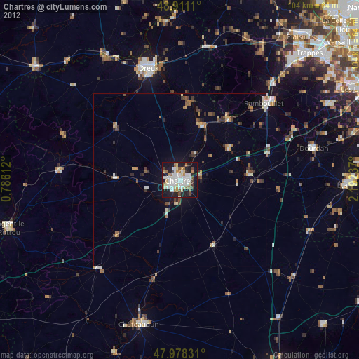
» Earth at Night: Flat Maps 2012, 2016