Vanves night lights from space
Night Light of Vanves (Île-de-France) from space (France) Src. Average luminocity for 10x10km area is 98.9972% and for 50x50km: 77.3749%.
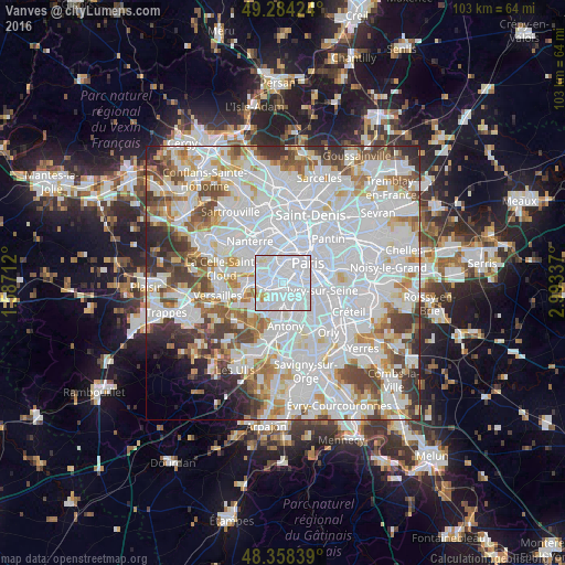
Analysis of Vanves night lights 2016
Square area 10x10 km:
 78.41%
90-99
17.47%80-89
2.98%70-79
0.85%60-69
0.28%50-59
0%40-49
0%30-39
0%20-29
0%10-19
0%0-9
0%Square area 50x50 km:
36.79%90-99
20.03%80-89
5.89%70-79
5.41%60-69
5.95%50-59
4.77%40-49
6.06%30-39
4.44%20-29
3.92%10-19
2.13%0-9
4.61%Clear (daylight) street map image can be seen on geolist.org.
Map coordinates:
49° 17' 3.3" North, 1° 35' 13.6" East
48° 49' 24.4" North, 2° 17' 24.9" East
48° 21' 30.2" North, 2° 59' 36.1" East
Some cities around Vanves sort by population:
• Boulogne-Billancourt
3.8 km =2.4 mi,  290°
290°
• Issy-les-Moulineaux
1 km =0.6 mi,  254°
254°
• Clamart
2.8 km =1.7 mi,  216°
216°
• Bagneux
3.4 km =2.1 mi,  157°
157°
• Montrouge
1.9 km =1.2 mi,  114°
114°
• Châtillon
2.4 km =1.5 mi,  174°
174°
• Malakoff
0.8 km =0.5 mi,  118°
118°
• Fontenay-aux-Roses
3.4 km =2.1 mi,  176°
176°
2970761 (p: 26,068)
Sources (retrieved 2019-11-25):
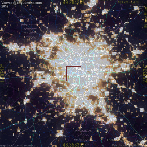
» Earth at Night: Flat Maps 2012, 2016