Montargis night lights from space
Night Light of Montargis (Centre) from space (France) Src. Average luminocity for 10x10km area is 39.679% and for 50x50km: 3.1299%.
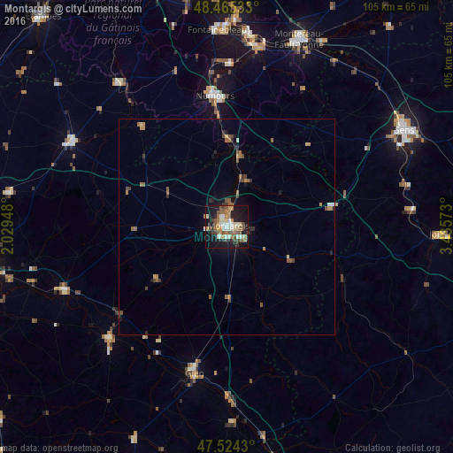
Analysis of Montargis night lights 2016
Square area 10x10 km:
 3.69%
3.69%90-99
8.66%80-89
4.83%70-79
3.55%60-69
6.68%50-59
8.66%40-49
6.39%30-39
4.4%20-29
9.8%10-19
32.81%0-9
10.51%Square area 50x50 km:
0.19%90-99
0.41%80-89
0.29%70-79
0.29%60-69
0.63%50-59
0.72%40-49
0.61%30-39
0.49%20-29
0.61%10-19
2.11%0-9
93.64%Clear (daylight) street map image can be seen on geolist.org.
Map coordinates:
48° 27' 55.2" North, 2° 1' 46.1" East
47° 59' 49.1" North, 2° 43' 57.4" East
47° 31' 27.5" North, 3° 26' 8.6" East
Some cities around Montargis sort by population:
• Gien
34.6 km =21.5 mi,  192°
192°
• Châlette-sur-Loing
1.8 km =1.1 mi,  7°
7°
• Nemours
31.1 km =19.3 mi,  354°
354°
• Amilly
4 km =2.5 mi,  132°
132°
• Villemandeur
1.6 km =1 mi,  224°
224°
• Saint-Pierre-lès-Nemours
30.3 km =18.8 mi, 352°
• Sully-sur-Loire
37.3 km =23.2 mi,  226°
226°
• Souppes-sur-Loing
20.7 km =12.9 mi,  0°
0°
2993024 (p: 17,457)
Sources (retrieved 2019-11-25):
» Earth at Night: Flat Maps 2012, 2016