Gien night lights from space
Night Light of Gien (Centre) from space (France) Src. Average luminocity for 10x10km area is 12.6265% and for 50x50km: 2.4155%.
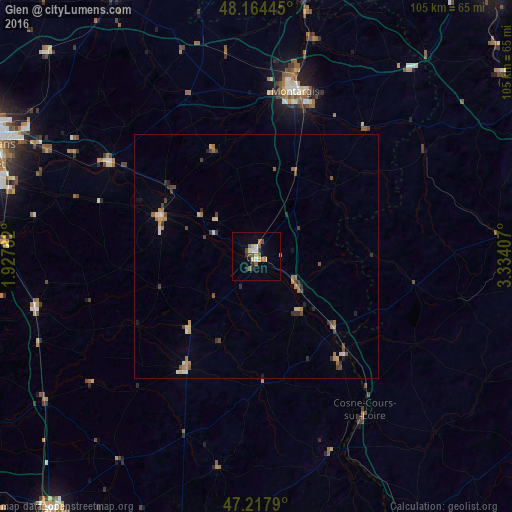
Analysis of Gien night lights 2016
Square area 10x10 km:
 0.6%
0.6%90-99
2.38%80-89
0.6%70-79
2.68%60-69
1.19%50-59
3.13%40-49
2.23%30-39
0.89%20-29
1.79%10-19
1.19%0-9
83.33%Square area 50x50 km:
0.09%90-99
0.27%80-89
0.28%70-79
0.4%60-69
0.43%50-59
0.37%40-49
0.57%30-39
0.44%20-29
0.4%10-19
0.21%0-9
96.52%Clear (daylight) street map image can be seen on geolist.org.
Map coordinates:
48° 9' 52" North, 1° 55' 40.2" East
47° 41' 36" North, 2° 37' 51.4" East
47° 13' 4.4" North, 3° 20' 2.7" East
Some cities around Gien sort by population:
• Montargis
34.6 km =21.5 mi,  12°
12°
• Châlette-sur-Loing
36.4 km =22.6 mi, 12°
• Amilly
32.8 km =20.4 mi,  18°
18°
• Châteauneuf-sur-Loire
36.3 km =22.6 mi,  301°
301°
• Villemandeur
33.3 km =20.7 mi, 11°
• Briare
10.8 km =6.7 mi,  128°
128°
• Sully-sur-Loire
20.9 km =13 mi,  292°
292°
• Aubigny-sur-Nère
27 km =16.8 mi,  212°
212°
3016097 (p: 15,966)
Sources (retrieved 2019-11-25):
» Earth at Night: Flat Maps 2012, 2016