La Ferté-Macé night lights from space
Night Light of La Ferté-Macé (Normandy) from space (France) Src. Average luminocity for 10x10km area is 4.5759% and for 50x50km: 1.4046%.
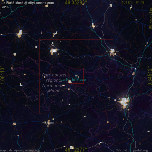
Analysis of La Ferté-Macé night lights 2016
Square area 10x10 km:
 0.45%
0.45%90-99
1.34%80-89
0.89%70-79
0%60-69
0.89%50-59
1.19%40-49
0%30-39
0%20-29
0.6%10-19
1.19%0-9
93.45%Square area 50x50 km:
0.21%90-99
0.28%80-89
0.1%70-79
0.13%60-69
0.14%50-59
0.22%40-49
0.13%30-39
0.15%20-29
0.18%10-19
0.54%0-9
97.93%Clear (daylight) street map image can be seen on geolist.org.
Map coordinates:
49° 3' 10.5" North, 1° 3' 40.1" West
48° 35' 24" North, 0° 21' 28.8" West
48° 7' 22" North, 0° 20' 42.4" East
Some cities around La Ferté-Macé sort by population:
• Alençon
37.4 km =23.2 mi,  117°
117°
• Argentan
30.2 km =18.8 mi,  55°
55°
• Flers
22.8 km =14.2 mi,  315°
315°
• Mayenne
37 km =23 mi,  210°
210°
• Vire
47.8 km =29.7 mi,  305°
305°
• Falaise
35.7 km =22.2 mi,  19°
19°
• Évron
48.3 km =30 mi,  183°
183°
• Condé-sur-Noireau
32.1 km =19.9 mi,  333°
333°
3009486 (p: 7,372)
Sources (retrieved 2019-11-25):
» Earth at Night: Flat Maps 2012, 2016