Lormont night lights from space
Night Light of Lormont (Nouvelle-Aquitaine) from space (France) Src. Average luminocity for 10x10km area is 85.5016% and for 50x50km: 28.0926%.
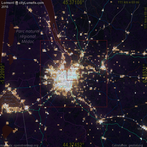
Analysis of Lormont night lights 2016
Square area 10x10 km:
 38.25%
90-99
24.92%80-89
5.4%70-79
6.19%60-69
10.48%50-59
5.71%40-49
5.56%30-39
3.17%20-29
0.32%10-19
0%0-9
0%Square area 50x50 km:
6.03%90-99
5.03%80-89
2.79%70-79
2.81%60-69
3.81%50-59
3.46%40-49
3.86%30-39
3.89%20-29
6.62%10-19
16.31%0-9
45.39%Clear (daylight) street map image can be seen on geolist.org.
Map coordinates:
45° 22' 15.8" North, 1° 13' 15.4" West
44° 52' 29.8" North, 0° 31' 4.2" West
44° 22' 28.3" North, 0° 11' 7.1" East
Some cities around Lormont sort by population:
• Bordeaux
6.3 km =3.9 mi,  232°
232°
• Le Bouscat
6.1 km =3.8 mi,  260°
260°
• Cenon
2.1 km =1.3 mi,  181°
181°
• Floirac
4.7 km =2.9 mi, 176°
• Ambarès-et-Lagrave
5.4 km =3.4 mi,  30°
30°
• Bassens
3 km =1.9 mi,  2°
2°
• Carbon-Blanc
2.7 km =1.7 mi, 28°
• Artigues-près-Bordeaux
2.8 km =1.7 mi, 178°
2997556 (p: 22,636)
Sources (retrieved 2019-11-25):
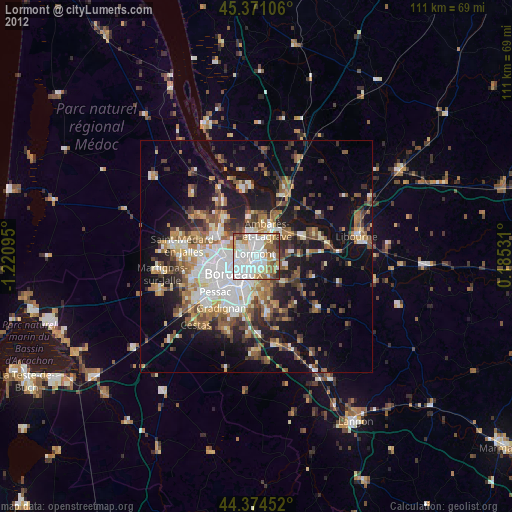
» Earth at Night: Flat Maps 2012, 2016