Bordeaux night lights from space
Night Light of Bordeaux (Nouvelle-Aquitaine) from space (France) Src. Average luminocity for 10x10km area is 98.6095% and for 50x50km: 27.326%.
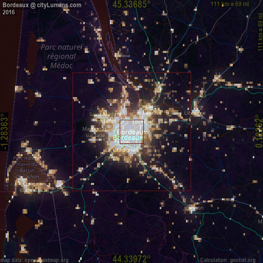
Analysis of Bordeaux night lights 2016
Square area 10x10 km:
 74.13%
90-99
22.06%80-89
1.11%70-79
2.06%60-69
0.16%50-59
0.48%40-49
0%30-39
0%20-29
0%10-19
0%0-9
0%Square area 50x50 km:
5.95%90-99
4.94%80-89
2.77%70-79
2.73%60-69
3.74%50-59
3.31%40-49
3.85%30-39
3.76%20-29
6.36%10-19
14.92%0-9
47.68%Clear (daylight) street map image can be seen on geolist.org.
Map coordinates:
45° 20' 12.7" North, 1° 17' 1.1" West
44° 50' 25.6" North, 0° 34' 49.8" West
44° 20' 23" North, 0° 7' 21.4" East
Some cities around Bordeaux sort by population:
• Mérignac
4.3 km =2.7 mi,  258°
258°
• Talence
4.1 km =2.5 mi,  196°
196°
• Le Bouscat
3 km =1.9 mi,  339°
339°
• Bègles
4.4 km =2.7 mi,  144°
144°
• Cenon
5.2 km =3.2 mi,  70°
70°
• Floirac
5.3 km =3.3 mi,  99°
99°
• Bruges
5 km =3.1 mi,  330°
330°
• Artigues-près-Bordeaux
5.1 km =3.2 mi,  78°
78°
3031582 (p: 231,844)
Sources (retrieved 2019-11-25):
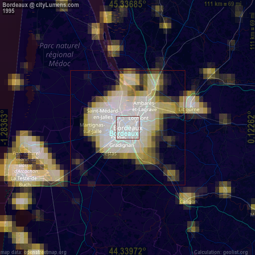
» NASA, Earths city lights 1995
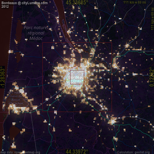
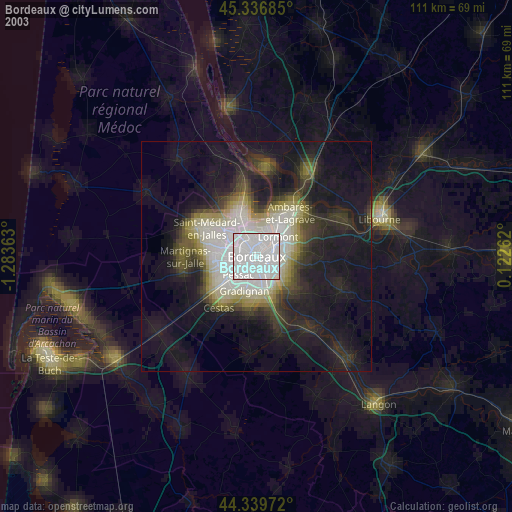
» NASA city lights 2003
» Earth at Night: Flat Maps 2012, 2016