Le Bouscat night lights from space
Night Light of Le Bouscat (Nouvelle-Aquitaine) from space (France) Src. Average luminocity for 10x10km area is 94.2127% and for 50x50km: 27.2681%.
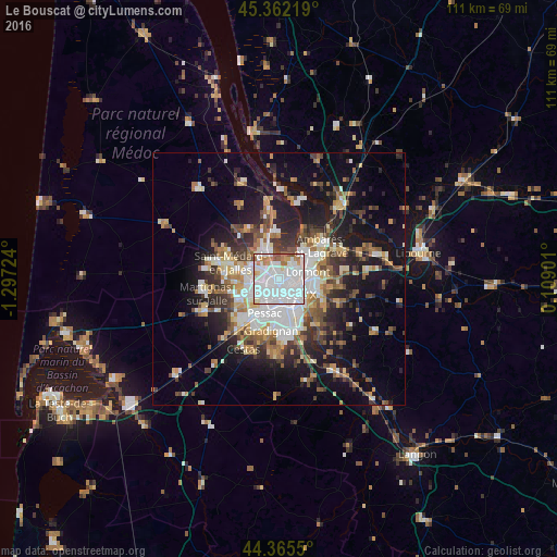
Analysis of Le Bouscat night lights 2016
Square area 10x10 km:
 56.35%
90-99
27.14%80-89
2.38%70-79
4.76%60-69
6.51%50-59
2.7%40-49
0.16%30-39
0%20-29
0%10-19
0%0-9
0%Square area 50x50 km:
5.93%90-99
4.93%80-89
2.77%70-79
2.78%60-69
3.66%50-59
3.24%40-49
3.84%30-39
3.76%20-29
6.45%10-19
14.62%0-9
48.02%Clear (daylight) street map image can be seen on geolist.org.
Map coordinates:
45° 21' 43.9" North, 1° 17' 50.1" West
44° 51' 57.6" North, 0° 35' 38.8" West
44° 21' 55.8" North, 0° 6' 32.4" East
Some cities around Le Bouscat sort by population:
• Bordeaux
3 km =1.9 mi,  159°
159°
• Mérignac
4.9 km =3 mi,  220°
220°
• Lormont
6.1 km =3.8 mi,  80°
80°
• Cenon
6.1 km =3.8 mi,  100°
100°
• Eysines
4.6 km =2.9 mi,  295°
295°
• Blanquefort
6.2 km =3.9 mi,  327°
327°
• Bruges
2.1 km =1.3 mi,  317°
317°
• Artigues-près-Bordeaux
6.4 km =4 mi,  106°
106°
3005066 (p: 24,232)
Sources (retrieved 2019-11-25):
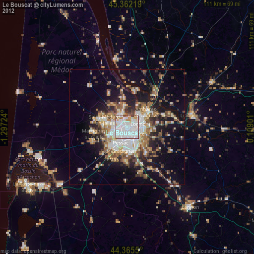
» Earth at Night: Flat Maps 2012, 2016