Cenon night lights from space
Night Light of Cenon (Nouvelle-Aquitaine) from space (France) Src. Average luminocity for 10x10km area is 85.781% and for 50x50km: 28.1182%.
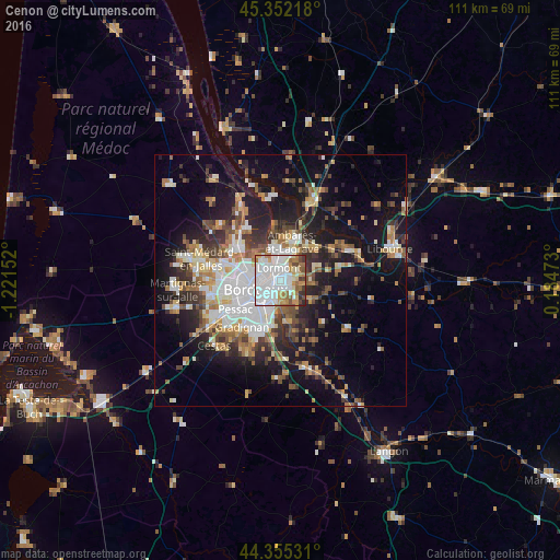
Analysis of Cenon night lights 2016
Square area 10x10 km:
 41.43%
90-99
22.06%80-89
5.4%70-79
8.25%60-69
9.37%50-59
4.44%40-49
4.6%30-39
3.49%20-29
0.95%10-19
0%0-9
0%Square area 50x50 km:
6.06%90-99
5.05%80-89
2.84%70-79
2.78%60-69
3.86%50-59
3.44%40-49
3.82%30-39
3.86%20-29
6.57%10-19
16.31%0-9
45.41%Clear (daylight) street map image can be seen on geolist.org.
Map coordinates:
45° 21' 7.8" North, 1° 13' 17.5" West
44° 51' 21.2" North, 0° 31' 6.2" West
44° 21' 19.1" North, 0° 11' 5" East
Some cities around Cenon sort by population:
• Bordeaux
5.2 km =3.2 mi,  250°
250°
• Le Bouscat
6.1 km =3.8 mi,  280°
280°
• Bègles
5.8 km =3.6 mi,  203°
203°
• Lormont
2.1 km =1.3 mi,  1°
1°
• Floirac
2.6 km =1.6 mi,  172°
172°
• Bassens
5.2 km =3.2 mi, 1°
• Carbon-Blanc
4.7 km =2.9 mi,  16°
16°
• Artigues-près-Bordeaux
0.7 km =0.4 mi, 168°
3027950 (p: 22,393)
Sources (retrieved 2019-11-25):
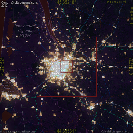
» Earth at Night: Flat Maps 2012, 2016