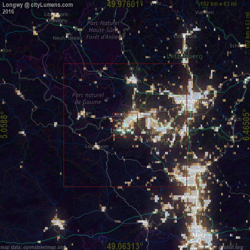
Longwy night lights from space
Night Light of Longwy (Grand Est) from space (France) Src. Average luminocity for 10x10km area is 49.6737% and for 50x50km: 16.0346%.
Analysis of Longwy night lights 2016
Square area 10x10 km:
 9.8%
9.8%90-99
11.06%80-89
9.94%70-79
4.76%60-69
2.52%50-59
4.2%40-49
6.02%30-39
7.14%20-29
20.59%10-19
20.31%0-9
3.64%Square area 50x50 km:
2.63%90-99
2.8%80-89
1.76%70-79
1.55%60-69
1.31%50-59
1.71%40-49
1.92%30-39
2.68%20-29
7.49%10-19
12.84%0-9
63.3%Clear (daylight) street map image can be seen on geolist.org.
Map coordinates:
49° 58' 33.6" North, 5° 3' 31.7" East
49° 31' 18.1" North, 5° 45' 42.9" East
49° 3' 47.3" North, 6° 27' 54.2" East
Some cities around Longwy sort by population:
• Aubange, BE
5.9 km =3.7 mi,  31°
31°
• Villerupt
13.7 km =8.5 mi,  116°
116°
• Mont-Saint-Martin
2.9 km =1.8 mi, 32°
• Pétange, LU
9.5 km =5.9 mi,  64°
64°
• Messancy, BE
8.8 km =5.5 mi, 27°
• Longuyon
14.4 km =8.9 mi,  231°
231°
• Belvaux, LU
11.8 km =7.3 mi,  96°
96°
• Differdange, LU
9.3 km =5.8 mi,  88°
88°
2997638 (p: 14,695)
Sources (retrieved 2019-11-25):
» Earth at Night: Flat Maps 2012, 2016