Libourne night lights from space
Night Light of Libourne (Nouvelle-Aquitaine) from space (France) Src. Average luminocity for 10x10km area is 26.7222% and for 50x50km: 15.0711%.
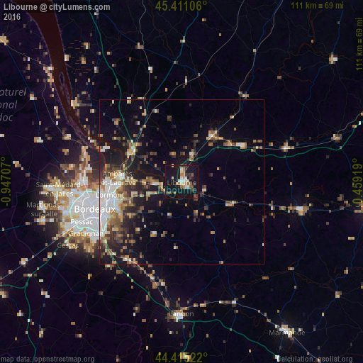
Analysis of Libourne night lights 2016
Square area 10x10 km:
 3.17%
3.17%90-99
3.33%80-89
2.7%70-79
1.75%60-69
5.24%50-59
3.81%40-49
2.7%30-39
4.13%20-29
2.7%10-19
52.7%0-9
17.78%Square area 50x50 km:
2.07%90-99
2.04%80-89
1.47%70-79
1.62%60-69
2.24%50-59
2.16%40-49
2.75%30-39
2.35%20-29
4.32%10-19
11.14%0-9
67.84%Clear (daylight) street map image can be seen on geolist.org.
Map coordinates:
45° 24' 39.8" North, 0° 56' 49.5" West
44° 54' 55.1" North, 0° 14' 38.2" West
44° 24' 54.8" North, 0° 27' 33.1" East
Some cities around Libourne sort by population:
• Lormont
22 km =13.7 mi,  258°
258°
• Cenon
22.6 km =14 mi,  253°
253°
• Ambarès-et-Lagrave
18.8 km =11.7 mi,  270°
270°
• Coutras
15.7 km =9.8 mi,  33°
33°
• Saint-Loubès
14.4 km =8.9 mi, 270°
• Bassens
21.5 km =13.4 mi, 266°
• Carbon-Blanc
20.4 km =12.7 mi, 264°
• Artigues-près-Bordeaux
22.7 km =14.1 mi, 251°
2998517 (p: 24,240)
Sources (retrieved 2019-11-25):
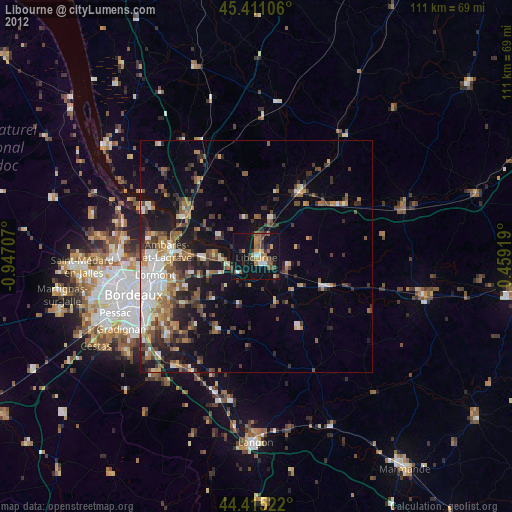
» Earth at Night: Flat Maps 2012, 2016