Eysines night lights from space
Night Light of Eysines (Nouvelle-Aquitaine) from space (France) Src. Average luminocity for 10x10km area is 82.6175% and for 50x50km: 26.6342%.
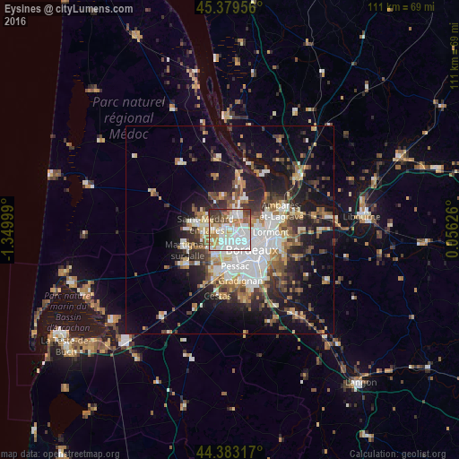
Analysis of Eysines night lights 2016
Square area 10x10 km:
 31.9%
31.9%90-99
24.13%80-89
10%70-79
6.67%60-69
9.84%50-59
4.44%40-49
4.92%30-39
7.3%20-29
0.79%10-19
0%0-9
0%Square area 50x50 km:
5.93%90-99
4.85%80-89
2.69%70-79
2.72%60-69
3.57%50-59
3.18%40-49
3.67%30-39
3.74%20-29
6.18%10-19
13.83%0-9
49.64%Clear (daylight) street map image can be seen on geolist.org.
Map coordinates:
45° 22' 46.4" North, 1° 20' 60" West
44° 53' 0.7" North, 0° 38' 48.7" West
44° 22' 59.4" North, 0° 3' 22.5" East
Some cities around Eysines sort by population:
• Mérignac
5.8 km =3.6 mi,  169°
169°
• Saint-Médard-en-Jalles
6.1 km =3.8 mi,  284°
284°
• Le Bouscat
4.6 km =2.9 mi,  115°
115°
• Blanquefort
3.3 km =2.1 mi,  14°
14°
• Bruges
2.8 km =1.7 mi,  98°
98°
• Le Haillan
2.9 km =1.8 mi,  244°
244°
• Le Taillan-Médoc
3.1 km =1.9 mi,  322°
322°
• Saint-Aubin-de-Médoc
6.9 km =4.3 mi,  297°
297°
3019193 (p: 21,394)
Sources (retrieved 2019-11-25):
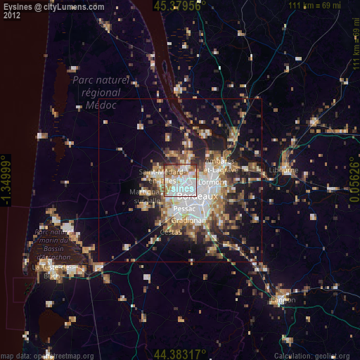
» Earth at Night: Flat Maps 2012, 2016