La Roche-sur-Yon night lights from space
Night Light of La Roche-sur-Yon (Pays de la Loire) from space (France) Src. Average luminocity for 10x10km area is 35.3764% and for 50x50km: 4.0614%.
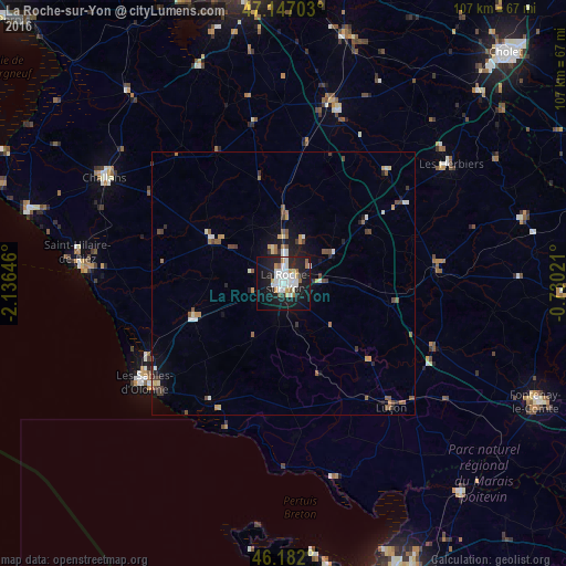
Analysis of La Roche-sur-Yon night lights 2016
Square area 10x10 km:
 9.94%
9.94%90-99
9.23%80-89
1.85%70-79
2.56%60-69
2.98%50-59
1.7%40-49
0.43%30-39
0.71%20-29
13.21%10-19
39.2%0-9
18.18%Square area 50x50 km:
0.55%90-99
0.73%80-89
0.28%70-79
0.47%60-69
0.44%50-59
0.56%40-49
0.66%30-39
0.53%20-29
0.87%10-19
2.84%0-9
92.08%Clear (daylight) street map image can be seen on geolist.org.
Map coordinates:
47° 8' 49.3" North, 2° 8' 11.3" West
46° 40' 0" North, 1° 25' 60" West
46° 10' 55.2" North, 0° 43' 48.8" West
Some cities around La Roche-sur-Yon sort by population:
• Les Sables-d’Olonne
32.9 km =20.4 mi,  234°
234°
• Château-d’Olonne
29.7 km =18.5 mi, 232°
• Olonne-sur-Mer
29.8 km =18.5 mi,  240°
240°
• Luçon
31 km =19.3 mi,  138°
138°
• Chantonnay
29.3 km =18.2 mi,  85°
85°
• Aizenay
15.6 km =9.7 mi,  301°
301°
• Le Poiré-sur-Vie
12.8 km =8 mi,  333°
333°
• Saint-Hilaire-de-Talmont
25.4 km =15.8 mi,  210°
210°
3006767 (p: 59,410)
Sources (retrieved 2019-11-25):
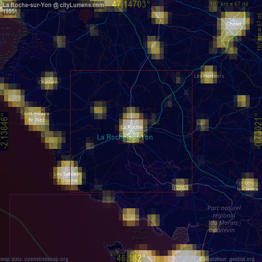
» NASA, Earths city lights 1995
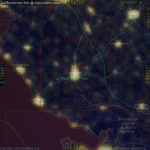
» NASA city lights 2003
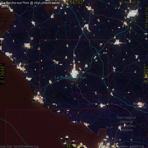
» Earth at Night: Flat Maps 2012, 2016