Halluin night lights from space
Night Light of Halluin (Hauts-de-France) from space (France) Src. Average luminocity for 10x10km area is 72.8431% and for 50x50km: 44.0874%.
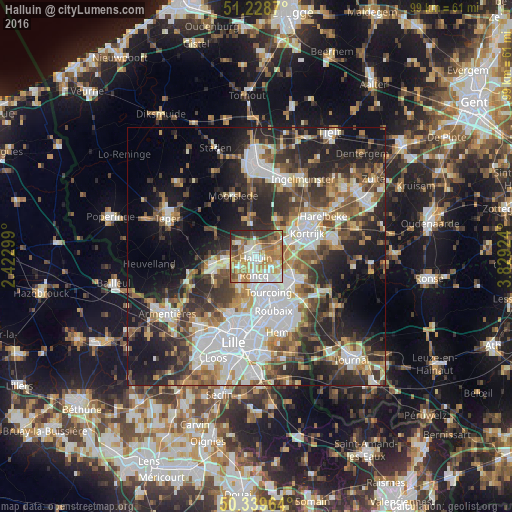
Analysis of Halluin night lights 2016
Square area 10x10 km:
 14.29%
90-99
17.23%80-89
10.22%70-79
14.71%60-69
16.81%50-59
9.94%40-49
4.76%30-39
7.56%20-29
4.2%10-19
0.28%0-9
0%Square area 50x50 km:
10.81%90-99
8.3%80-89
4.03%70-79
4.73%60-69
5.7%50-59
6.49%40-49
6.05%30-39
7.17%20-29
12.87%10-19
14.79%0-9
19.07%Clear (daylight) street map image can be seen on geolist.org.
Map coordinates:
51° 13' 43.3" North, 2° 25' 22.8" East
50° 47' 10.6" North, 3° 7' 34" East
50° 20' 22.7" North, 3° 49' 45.3" East
Some cities around Halluin sort by population:
• Tourcoing
7.4 km =4.6 mi,  160°
160°
• Mouscron, BE
7.3 km =4.5 mi,  129°
129°
• Menen, BE
1.2 km =0.7 mi,  348°
348°
• Wevelgem, BE
3.2 km =2 mi,  61°
61°
• Wervik, BE
6.2 km =3.9 mi,  264°
264°
• Roncq
3.7 km =2.3 mi,  185°
185°
• Neuville-en-Ferrain
4.7 km =2.9 mi,  152°
152°
• Linselles
6.4 km =4 mi,  211°
211°
3014034 (p: 20,171)
Sources (retrieved 2019-11-25):
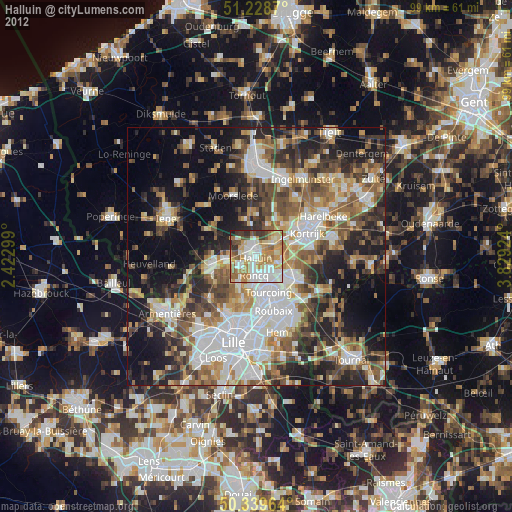
» Earth at Night: Flat Maps 2012, 2016