Menen night lights from space
Night Light of Menen (Flanders) from space (Belgium) Src. Average luminocity for 10x10km area is 66.8641% and for 50x50km: 43.1112%.
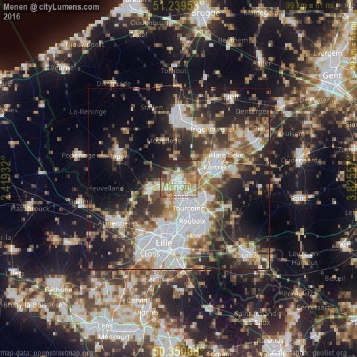
Analysis of Menen night lights 2016
Square area 10x10 km:
 10.36%
90-99
14.57%80-89
10.92%70-79
13.03%60-69
14.99%50-59
10.08%40-49
5.18%30-39
8.12%20-29
11.06%10-19
1.68%0-9
0%Square area 50x50 km:
10.61%90-99
8.03%80-89
3.96%70-79
4.58%60-69
5.48%50-59
6.34%40-49
5.86%30-39
7.1%20-29
12.37%10-19
15.29%0-9
20.39%Clear (daylight) street map image can be seen on geolist.org.
Map coordinates:
51° 14' 22.3" North, 2° 25' 9.6" East
50° 47' 50" North, 3° 7' 20.8" East
50° 21' 2.4" North, 3° 49' 32.1" East
Some cities around Menen sort by population:
• Mouscron
8.3 km =5.2 mi,  134°
134°
• Wevelgem
3.1 km =1.9 mi,  84°
84°
• Halluin, FR
1.2 km =0.7 mi,  168°
168°
• Wervik
6.2 km =3.9 mi,  252°
252°
• Roncq, FR
4.9 km =3 mi,  180°
180°
• Neuville-en-Ferrain, FR
5.9 km =3.7 mi,  156°
156°
• Ledegem
6.7 km =4.2 mi,  0°
0°
• Linselles, FR
7.4 km =4.6 mi,  204°
204°
2791343 (p: 31,916)
Sources (retrieved 2019-11-25):
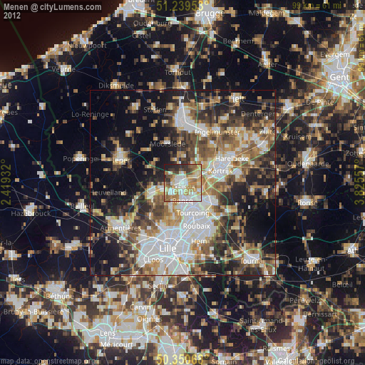
» Earth at Night: Flat Maps 2012, 2016