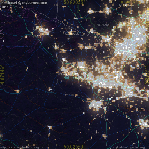
Haillicourt night lights from space
Night Light of Haillicourt (Hauts-de-France) from space (France) Src. Average luminocity for 10x10km area is 55.3193% and for 50x50km: 25.3811%.
Analysis of Haillicourt night lights 2016
Square area 10x10 km:
 6.72%
6.72%90-99
13.31%80-89
6.72%70-79
9.1%60-69
8.4%50-59
7.56%40-49
8.82%30-39
14.43%20-29
13.59%10-19
10.92%0-9
0.42%Square area 50x50 km:
4.71%90-99
5.56%80-89
2.66%70-79
2.5%60-69
2.87%50-59
2.75%40-49
3.83%30-39
4.31%20-29
7.79%10-19
14.79%0-9
48.24%Clear (daylight) street map image can be seen on geolist.org.
Map coordinates:
50° 55' 14" North, 1° 52' 17.3" East
50° 28' 30.7" North, 2° 34' 28.5" East
50° 1' 32.1" North, 3° 16' 39.8" East
Some cities around Haillicourt sort by population:
• Bruay-la-Buissière
2 km =1.2 mi,  297°
297°
• Nœux-les-Mines
6.6 km =4.1 mi,  82°
82°
• Barlin
4.1 km =2.5 mi,  128°
128°
• Houdain
3.8 km =2.4 mi,  223°
223°
• Divion
4.9 km =3 mi,  265°
265°
• Hersin-Coupigny
6.1 km =3.8 mi,  119°
119°
• Marles-les-Mines
5.7 km =3.5 mi,  305°
305°
• Annezin
7 km =4.3 mi,  25°
25°
3014067 (p: 5,121)
Sources (retrieved 2019-11-25):
» Earth at Night: Flat Maps 2012, 2016