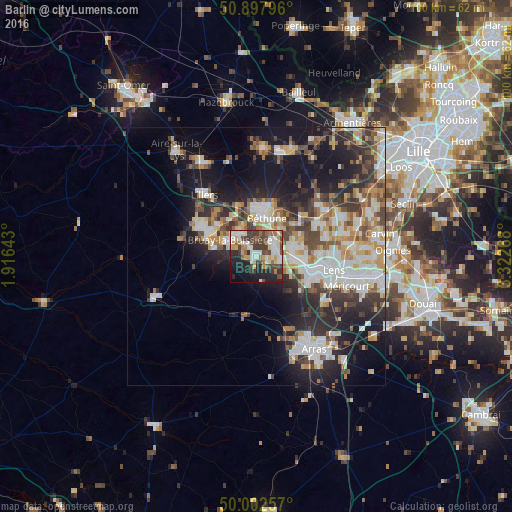
Barlin night lights from space
Night Light of Barlin (Hauts-de-France) from space (France) Src. Average luminocity for 10x10km area is 52.7143% and for 50x50km: 28.576%.
Analysis of Barlin night lights 2016
Square area 10x10 km:
 7.84%
7.84%90-99
15.27%80-89
4.9%70-79
6.86%60-69
5.46%50-59
5.46%40-49
10.92%30-39
11.48%20-29
13.73%10-19
14.99%0-9
3.08%Square area 50x50 km:
5.42%90-99
6.36%80-89
3%70-79
3.21%60-69
3.21%50-59
3.23%40-49
4.21%30-39
4.98%20-29
8.15%10-19
14.67%0-9
43.57%Clear (daylight) street map image can be seen on geolist.org.
Map coordinates:
50° 53' 52.7" North, 1° 54' 59.1" East
50° 27' 8.6" North, 2° 37' 10.4" East
50° 0' 9.3" North, 3° 19' 21.6" East
Some cities around Barlin sort by population:
• Bruay-la-Buissière
6 km =3.7 mi,  304°
304°
• Bully-les-Mines
7.7 km =4.8 mi,  97°
97°
• Nœux-les-Mines
4.8 km =3 mi,  44°
44°
• Houdain
5.8 km =3.6 mi,  267°
267°
• Mazingarbe
7.1 km =4.4 mi,  72°
72°
• Hersin-Coupigny
2.2 km =1.4 mi, 103°
• Sains-en-Gohelle
4.6 km =2.9 mi, 100°
• Haillicourt
4.1 km =2.5 mi,  308°
308°
3034903 (p: 7,734)
Sources (retrieved 2019-11-25):
» Earth at Night: Flat Maps 2012, 2016