Évry night lights from space
Night Light of Évry (Île-de-France) from space (France) Src. Average luminocity for 10x10km area is 82.9226% and for 50x50km: 50.716%.
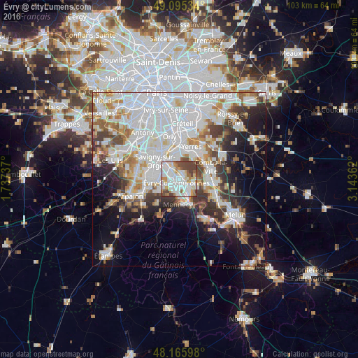
Analysis of Évry night lights 2016
Square area 10x10 km:
 27.53%
90-99
31.55%80-89
5.95%70-79
7.89%60-69
6.1%50-59
5.8%40-49
14.58%30-39
0.6%20-29
0%10-19
0%0-9
0%Square area 50x50 km:
19.61%90-99
12.51%80-89
3.62%70-79
4.21%60-69
4.9%50-59
3.74%40-49
4.59%30-39
4.83%20-29
6.38%10-19
11.25%0-9
24.36%Clear (daylight) street map image can be seen on geolist.org.
Map coordinates:
49° 5' 43.2" North, 1° 44' 14.5" East
48° 37' 58.1" North, 2° 26' 25.8" East
48° 9' 57.5" North, 3° 8' 37" East
Some cities around Évry sort by population:
• Corbeil-Essonnes
4.6 km =2.9 mi,  130°
130°
• Ris-Orangis
2.8 km =1.7 mi,  316°
316°
• Grigny
4.2 km =2.6 mi,  304°
304°
• Courcouronnes
3.2 km =2 mi,  229°
229°
• Lisses
3.6 km =2.2 mi,  201°
201°
• Soisy-sur-Seine
2 km =1.2 mi,  25°
25°
• Saint-Germain-lès-Corbeil
3.7 km =2.3 mi,  108°
108°
• Saint-Pierre-du-Perray
4.7 km =2.9 mi,  121°
121°
3019256 (p: 51,900)
Sources (retrieved 2019-11-25):
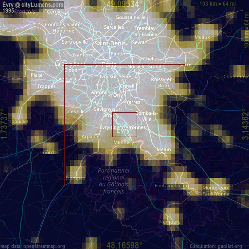
» NASA, Earths city lights 1995
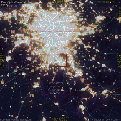
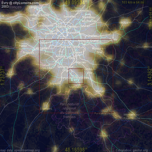
» NASA city lights 2003
» Earth at Night: Flat Maps 2012, 2016