Golbey night lights from space
Night Light of Golbey (Grand Est) from space (France) Src. Average luminocity for 10x10km area is 30.936% and for 50x50km: 4.2051%.
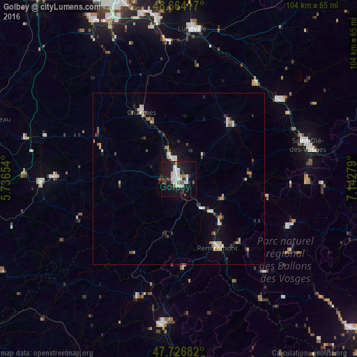
Analysis of Golbey night lights 2016
Square area 10x10 km:
 7.59%
7.59%90-99
6.1%80-89
2.38%70-79
0.74%60-69
3.57%50-59
2.98%40-49
1.34%30-39
4.76%20-29
7.29%10-19
39.29%0-9
23.96%Square area 50x50 km:
0.65%90-99
0.68%80-89
0.4%70-79
0.39%60-69
0.41%50-59
0.4%40-49
0.43%30-39
0.59%20-29
0.96%10-19
2.65%0-9
92.43%Clear (daylight) street map image can be seen on geolist.org.
Map coordinates:
48° 39' 51" North, 5° 44' 11.5" East
48° 11' 51.5" North, 6° 26' 22.8" East
47° 43' 36.6" North, 7° 8' 34" East
Some cities around Golbey sort by population:
• Épinal
1.9 km =1.2 mi,  148°
148°
• Gérardmer
35.3 km =21.9 mi,  113°
113°
• Remiremont
22.9 km =14.2 mi, 151°
• Thaon-les-Vosges
6.1 km =3.8 mi,  343°
343°
• Mirecourt
25.5 km =15.8 mi,  296°
296°
• Rambervillers
21.7 km =13.5 mi,  42°
42°
• Vittel
36.4 km =22.6 mi,  270°
270°
• La Bresse
38.5 km =23.9 mi,  124°
124°
3015741 (p: 8,623)
Sources (retrieved 2019-11-25):
» Earth at Night: Flat Maps 2012, 2016