Eaubonne night lights from space
Night Light of Eaubonne (Île-de-France) from space (France) Src. Average luminocity for 10x10km area is 83.6592% and for 50x50km: 62.6344%.
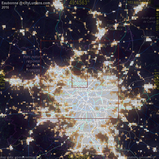
Analysis of Eaubonne night lights 2016
Square area 10x10 km:
 40.03%
90-99
23.07%80-89
4.32%70-79
5.8%60-69
7.29%50-59
6.99%40-49
3.72%30-39
8.18%20-29
0.6%10-19
0%0-9
0%Square area 50x50 km:
29.15%90-99
14.21%80-89
4.72%70-79
4.03%60-69
4.69%50-59
4.22%40-49
4.7%30-39
4.24%20-29
6.86%10-19
11.97%0-9
11.21%Clear (daylight) street map image can be seen on geolist.org.
Map coordinates:
49° 27' 22.7" North, 1° 34' 45.7" East
48° 59' 49.6" North, 2° 16' 57" East
48° 32' 1.2" North, 2° 59' 8.2" East
Some cities around Eaubonne sort by population:
• Franconville
3.9 km =2.4 mi,  246°
246°
• Ermont
1.9 km =1.2 mi, 246°
• Deuil-la-Barre
4 km =2.5 mi,  124°
124°
• Saint-Gratien
2.6 km =1.6 mi,  172°
172°
• Soisy-sous-Montmorency
1.7 km =1.1 mi,  125°
125°
• Saint-Leu-la-Forêt
3.2 km =2 mi,  312°
312°
• Le Plessis-Bouchard
3.6 km =2.2 mi,  275°
275°
• Saint-Prix
2.5 km =1.6 mi,  332°
332°
3020601 (p: 24,096)
Sources (retrieved 2019-11-25):
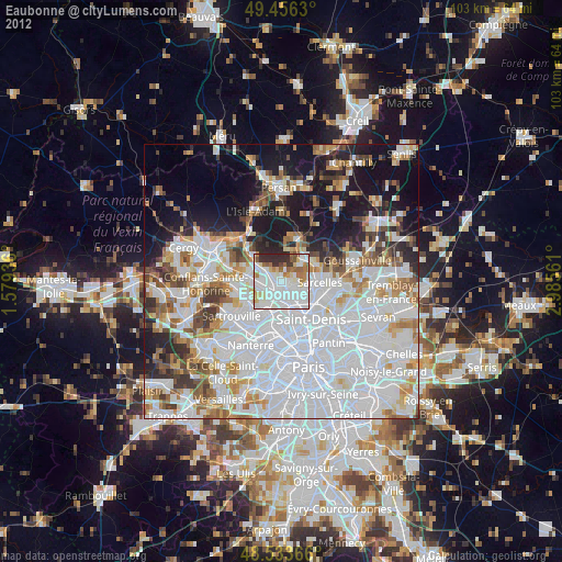
» Earth at Night: Flat Maps 2012, 2016