Dreux night lights from space
Night Light of Dreux (Centre) from space (France) Src. Average luminocity for 10x10km area is 38.6548% and for 50x50km: 5.4865%.
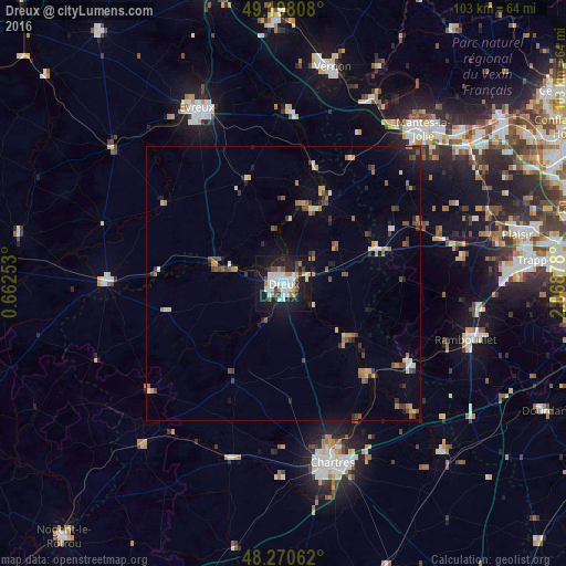
Analysis of Dreux night lights 2016
Square area 10x10 km:
 9.97%
9.97%90-99
9.97%80-89
1.34%70-79
3.42%60-69
4.02%50-59
1.64%40-49
4.02%30-39
2.53%20-29
9.23%10-19
43.9%0-9
9.97%Square area 50x50 km:
0.6%90-99
0.71%80-89
0.43%70-79
0.62%60-69
0.84%50-59
0.62%40-49
0.96%30-39
0.76%20-29
1.02%10-19
3.19%0-9
90.26%Clear (daylight) street map image can be seen on geolist.org.
Map coordinates:
49° 11' 53.1" North, 0° 39' 45.1" East
48° 44' 11.4" North, 1° 21' 56.4" East
48° 16' 14.2" North, 2° 4' 7.6" East
Some cities around Dreux sort by population:
• Chartres
33.5 km =20.8 mi,  164°
164°
• Lucé
34.1 km =21.2 mi,  167°
167°
• Vernouillet
1.8 km =1.1 mi, 170°
• Mainvilliers
32.5 km =20.2 mi, 168°
• Verneuil-sur-Avre
32.1 km =19.9 mi,  270°
270°
• Magnanville
34.4 km =21.4 mi,  41°
41°
• Épernon
26.5 km =16.5 mi,  121°
121°
• Pacy-sur-Eure
31.2 km =19.4 mi,  2°
2°
3020810 (p: 31,058)
Sources (retrieved 2019-11-25):
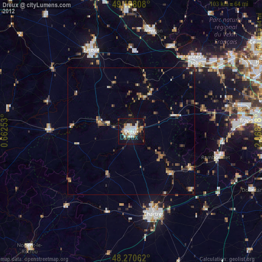
» Earth at Night: Flat Maps 2012, 2016