Douai night lights from space
Night Light of Douai (Hauts-de-France) from space (France) Src. Average luminocity for 10x10km area is 80.584% and for 50x50km: 38.666%.
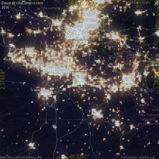
Analysis of Douai night lights 2016
Square area 10x10 km:
 28.15%
90-99
29.41%80-89
5.6%70-79
4.9%60-69
10.08%50-59
6.44%40-49
4.62%30-39
8.4%20-29
2.38%10-19
0%0-9
0%Square area 50x50 km:
7.52%90-99
8.65%80-89
3.36%70-79
3.88%60-69
5.11%50-59
4.49%40-49
5.68%30-39
6.68%20-29
12.71%10-19
18.1%0-9
23.83%Clear (daylight) street map image can be seen on geolist.org.
Map coordinates:
50° 49' 1.3" North, 2° 22' 33.9" East
50° 22' 14.5" North, 3° 4' 45.2" East
49° 55' 12.4" North, 3° 46' 56.4" East
Some cities around Douai sort by population:
• Sin-le-Noble
3.8 km =2.4 mi,  105°
105°
• Waziers
3.1 km =1.9 mi,  54°
54°
• Auby
5.2 km =3.2 mi,  339°
339°
• Cuincy
2.1 km =1.3 mi,  297°
297°
• Roost-Warendin
5.7 km =3.5 mi,  17°
17°
• Flers-en-Escrebieux
3.3 km =2.1 mi, 336°
• Dechy
3.5 km =2.2 mi,  130°
130°
• Lambres-lez-Douai
2.5 km =1.6 mi,  201°
201°
3021000 (p: 46,531)
Sources (retrieved 2019-11-25):
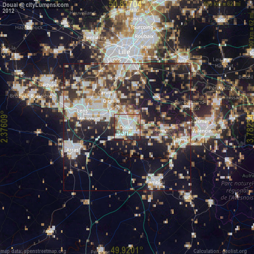
» Earth at Night: Flat Maps 2012, 2016