Cahors night lights from space
Night Light of Cahors (Occitanie) from space (France) Src. Average luminocity for 10x10km area is 15.8048% and for 50x50km: 1.0171%.
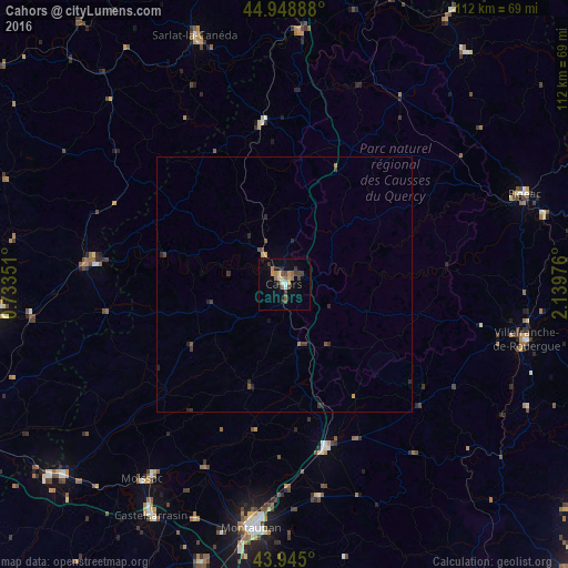
Analysis of Cahors night lights 2016
Square area 10x10 km:
 0.79%
0.79%90-99
1.27%80-89
2.38%70-79
1.43%60-69
4.29%50-59
1.9%40-49
3.81%30-39
3.17%20-29
1.9%10-19
4.6%0-9
74.44%Square area 50x50 km:
0.03%90-99
0.05%80-89
0.1%70-79
0.12%60-69
0.22%50-59
0.12%40-49
0.28%30-39
0.33%20-29
0.38%10-19
0.23%0-9
98.16%Clear (daylight) street map image can be seen on geolist.org.
Map coordinates:
44° 56' 56" North, 0° 44' 0.6" East
44° 26' 56.8" North, 1° 26' 11.9" East
43° 56' 42" North, 2° 8' 23.1" East
Some cities around Cahors sort by population:
• Montauban
48.3 km =30 mi,  186°
186°
• Villefranche-de-Rouergue
48.9 km =30.4 mi,  102°
102°
• Moissac
47.2 km =29.3 mi,  215°
215°
• Figeac
50.4 km =31.3 mi,  69°
69°
• Sarlat-la-Canéda
51.9 km =32.2 mi,  340°
340°
• Caussade
33.1 km =20.6 mi,  165°
165°
• Fumel
37.8 km =23.5 mi,  278°
278°
• Gourdon
32.3 km =20.1 mi,  352°
352°
3029213 (p: 23,331)
Sources (retrieved 2019-11-25):
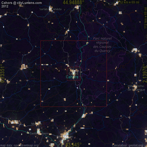
» Earth at Night: Flat Maps 2012, 2016