Colmar night lights from space
Night Light of Colmar (Grand Est) from space (France) Src. Average luminocity for 10x10km area is 51.3214% and for 50x50km: 10.8387%.
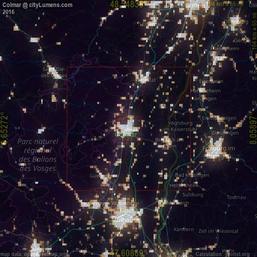
Analysis of Colmar night lights 2016
Square area 10x10 km:
 13.24%
90-99
14.43%80-89
4.76%70-79
6.25%60-69
2.38%50-59
1.19%40-49
2.68%30-39
4.46%20-29
32.89%10-19
17.41%0-9
0.3%Square area 50x50 km:
1.23%90-99
1.82%80-89
0.8%70-79
1.45%60-69
1.11%50-59
1.12%40-49
1.21%30-39
1.41%20-29
2.8%10-19
9.69%0-9
77.36%Clear (daylight) street map image can be seen on geolist.org.
Map coordinates:
48° 32' 54.2" North, 6° 39' 9.8" East
48° 4' 50.8" North, 7° 21' 21" East
47° 36' 32" North, 8° 3' 32.3" East
Some cities around Colmar sort by population:
• Sélestat
21.3 km =13.2 mi,  18°
18°
• Breisach am Rhein, DE
17.7 km =11 mi,  107°
107°
• Guebwiller
21.6 km =13.4 mi,  212°
212°
• Wintzenheim
4.9 km =3 mi,  259°
259°
• Ihringen, DE
22.1 km =13.7 mi,  100°
100°
• Vogtsburg, DE
21.3 km =13.2 mi,  85°
85°
• Horbourg-Wihr
2.8 km =1.7 mi, 89°
• Munster
16.7 km =10.4 mi,  254°
254°
3024297 (p: 65,405)
Sources (retrieved 2019-11-25):
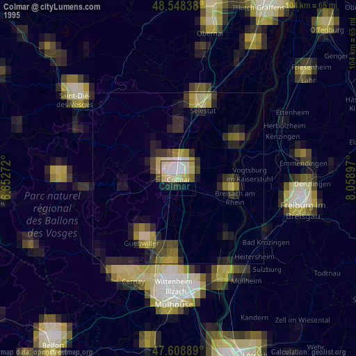
» NASA, Earths city lights 1995
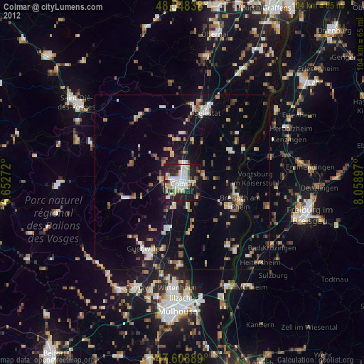
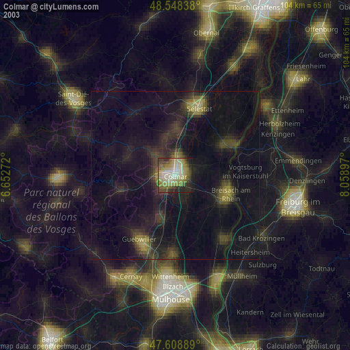
» NASA city lights 2003
» Earth at Night: Flat Maps 2012, 2016