Châtillon-sur-Seine night lights from space
Night Light of Châtillon-sur-Seine (Bourgogne-Franche-Comté) from space (France) Src. Average luminocity for 10x10km area is 6.1023% and for 50x50km: 0.5934%.
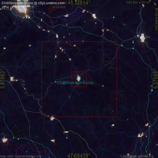
Analysis of Châtillon-sur-Seine night lights 2016
Square area 10x10 km:
 1.14%
1.14%90-99
0.57%80-89
0.57%70-79
1.7%60-69
0%50-59
1.56%40-49
0.14%30-39
0.57%20-29
1.14%10-19
0.43%0-9
92.19%Square area 50x50 km:
0.07%90-99
0.02%80-89
0.05%70-79
0.11%60-69
0.05%50-59
0.15%40-49
0.07%30-39
0.15%20-29
0.19%10-19
0.14%0-9
98.99%Clear (daylight) street map image can be seen on geolist.org.
Map coordinates:
48° 19' 41.3" North, 3° 52' 14.3" East
47° 51' 30.6" North, 4° 34' 25.5" East
47° 23' 4.5" North, 5° 16' 36.8" East
Some cities around Châtillon-sur-Seine sort by population:
• Troyes
61.1 km =38 mi,  323°
323°
• Chaumont
50.7 km =31.5 mi,  56°
56°
• Langres
56.6 km =35.2 mi,  89°
89°
• Saint-Julien-les-Villas
57.9 km =36 mi, 322°
• Montbard
31.6 km =19.6 mi,  214°
214°
• Bar-sur-Aube
42.8 km =26.6 mi,  13°
13°
• Tonnerre
44.8 km =27.8 mi,  269°
269°
• Semur-en-Auxois
45.4 km =28.2 mi,  203°
203°
3026046 (p: 6,939)
Sources (retrieved 2019-11-25):
» Earth at Night: Flat Maps 2012, 2016