Langres night lights from space
Night Light of Langres (Grand Est) from space (France) Src. Average luminocity for 10x10km area is 12.2557% and for 50x50km: 1.2903%.
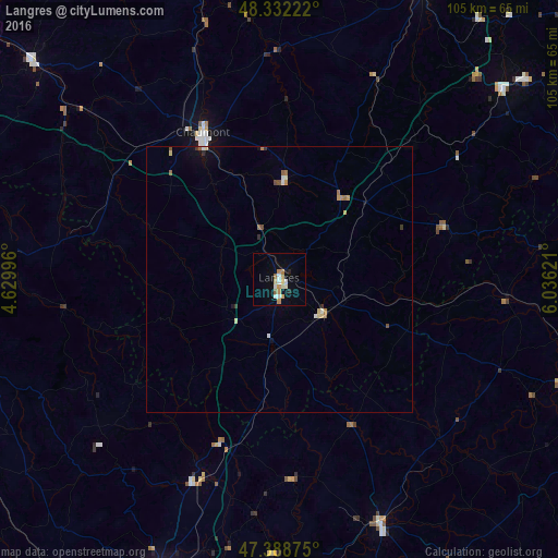
Analysis of Langres night lights 2016
Square area 10x10 km:
 2.27%
2.27%90-99
2.13%80-89
1.14%70-79
1.99%60-69
2.13%50-59
1.14%40-49
0%30-39
0%20-29
0.85%10-19
2.13%0-9
86.22%Square area 50x50 km:
0.15%90-99
0.18%80-89
0.19%70-79
0.17%60-69
0.23%50-59
0.18%40-49
0.09%30-39
0.11%20-29
0.09%10-19
0.29%0-9
98.33%Clear (daylight) street map image can be seen on geolist.org.
Map coordinates:
48° 19' 56" North, 4° 37' 47.9" East
47° 51' 45.5" North, 5° 19' 59.1" East
47° 23' 19.5" North, 6° 2' 10.4" East
Some cities around Langres sort by population:
• Chaumont
31.1 km =19.3 mi,  332°
332°
• Fontaine-lès-Dijon
62.4 km =38.8 mi,  202°
202°
• Neufchâteau
61.1 km =38 mi,  26°
26°
• Gray
50.3 km =31.3 mi,  157°
157°
• Châtillon-sur-Seine
56.6 km =35.2 mi,  269°
269°
• Vittel
59.2 km =36.8 mi,  50°
50°
• Bar-sur-Aube
62.2 km =38.6 mi,  311°
311°
• Saint-Apollinaire
61.8 km =38.4 mi, 197°
3007680 (p: 8,638)
Sources (retrieved 2019-11-25):
» Earth at Night: Flat Maps 2012, 2016