Troyes night lights from space
Night Light of Troyes (Grand Est) from space (France) Src. Average luminocity for 10x10km area is 65.5193% and for 50x50km: 4.408%.
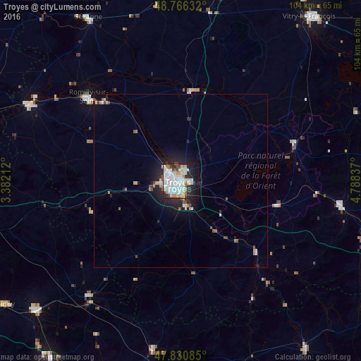
Analysis of Troyes night lights 2016
Square area 10x10 km:
 22.17%
90-99
23.66%80-89
5.36%70-79
6.99%60-69
1.34%50-59
2.98%40-49
2.68%30-39
4.32%20-29
12.5%10-19
14.73%0-9
3.27%Square area 50x50 km:
0.98%90-99
1.02%80-89
0.35%70-79
0.51%60-69
0.27%50-59
0.31%40-49
0.4%30-39
0.31%20-29
1.54%10-19
2.78%0-9
91.54%Clear (daylight) street map image can be seen on geolist.org.
Map coordinates:
48° 45' 58.8" North, 3° 22' 55.6" East
48° 18' 2.6" North, 4° 5' 6.9" East
47° 49' 51.1" North, 4° 47' 18.1" East
Some cities around Troyes sort by population:
• La Chapelle-Saint-Luc
3.8 km =2.4 mi,  298°
298°
• Romilly-sur-Seine
35.3 km =21.9 mi,  311°
311°
• Saint-André-les-Vergers
3 km =1.9 mi,  234°
234°
• Sainte-Savine
2.9 km =1.8 mi,  260°
260°
• Saint-Julien-les-Villas
3.4 km =2.1 mi,  162°
162°
• Saint-Florentin
42.8 km =26.6 mi,  218°
218°
• Bar-sur-Aube
46.6 km =29 mi,  99°
99°
• Pont-Sainte-Marie
2.1 km =1.3 mi,  19°
19°
2971549 (p: 60,785)
Sources (retrieved 2019-11-25):
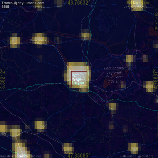
» NASA, Earths city lights 1995
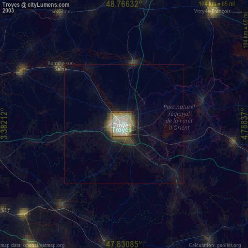
» NASA city lights 2003
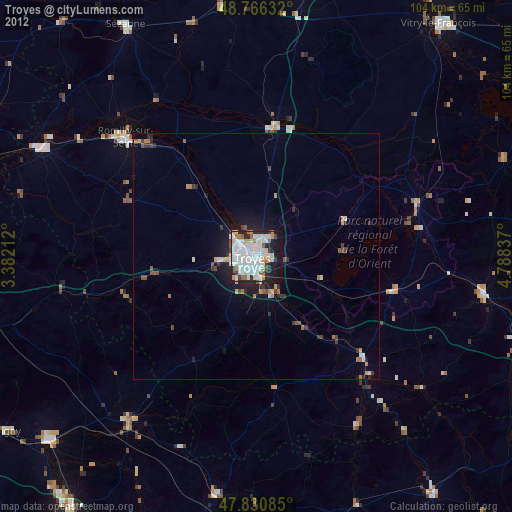
» Earth at Night: Flat Maps 2012, 2016